
What is recorded here
In low-lying and wet, level pasture with a slight NW-facing slope, 120m SE of the River Maigue, which serves as a townland boundary with Islandea. Enclosure (LI021-143----) lies 70m to NE. Not depicted on OS historic mapping, although area of monument is flanked by a trackway running NW-SE on the 1840 ed. OS 6-inch map. Monument identified as a fulacht fiadh in the Adare Bypass Constraint Study (Ref. 51/A/7, P. 61-2). Monument is visible as a roughly circular-shaped cropmark on Digital Globe orthophotos taken 2011-13 although it is not clearly visible on Google Earth orthoimages taken 28/06/2018.
See attached Google Earth orthoimages.
Compiled by: Alison McQueen and Vera Rahilly
Date of upload: 10 August 2020
The monument record does not grant public access. Check the route and ask the landowner before entering private land.
- What survives
- Recorded monument
Places near here
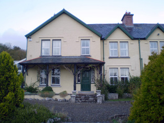 Ardshanbally Househouse · 527 yd
 Shanbally Househouse · 537 yd
 Enclosure in ArdshanballyEnclosure · 652 yd
 European BeechEuropean Beech · 696 yd
 European YewEuropean Yew · 726 yd
 Desmond CastleHeritage attraction · 773 yd
 Desmonds Castle (in ruins)Castle, Anglo-Norman masonry castle · 774 yd
 Adare Desmond CastleMedieval castle · 780 yd
 CastleCastle, tower house · 1141 yd
 Adare Tourist OfficeVisitor information · 1171 yd
 KnocknagowerNamed rock · 1.8 mi
Other information
Photo: Credit not shown in the picture search · Rights wording not checked; contact us if this picture should be removed