What is recorded here
Fairy fort in Woodtown Upper is a grass-covered earthen ring on a small hillock, thirty-seven metres across, with a broken bank and steep scarped edges. It looks less like a ruined human home than a boundary marker for another kind of residence, the sort of place where ordinary rules stop applying. The missing ditch and uneven walls suggest age, neglect or transformation rather than simple decay.
Located on top of a small hillock. This is a raised circular and grass-covered area (diam. 37m NW-SE; 35m NE-SW) that slopes down to the SW (H 1m). It is defined by an earthen bank with some bushes (at NW: Wth of base 6m; int. H 0.7m; ext. H 1.3m) W-N and (at SE: Wth of base 7m; int. H 0.3m; ext. H 2m) E-SSW but the perimeter is reduced to a scarp (H 2.5-4m) elsewhere. There is no visible fosse but the likely original entrance ramp (Wth of base 1.3m) is at ESE.
The above description is derived from the published 'Archaeological Inventory of County Meath' (Dublin: Stationery Office, 1987). In certain instances the entries have been revised and updated in the light of recent research.
Revised by: Michael Moore
Date of revision: 26 October 2018
The monument record does not grant public access. Check the route and ask the landowner before entering private land.
- What survives
- Recorded monument
Places near here
 Yellow Ford Bridgebridge · 1709 yd
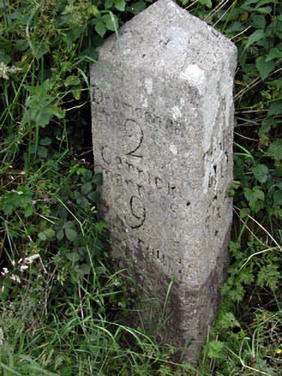 milestone/milepostmilestone/milepost · 1.0 mi
 Enclosure in MandistownEnclosure · 1.1 mi
 Cromwell's BatteryArchaeological place · 1.2 mi
 Gun HillMountain / peak · 1.2 mi
 Site of Siddan castleCastle, unclassified · 1.4 mi
 Site of Old CastleCastle, unclassified · 1.4 mi
 Yellow HillMountain / peak · 2.0 mi
 Valley WoodWood · 2.9 mi
 European White ElmEuropean White Elm · 4.0 mi
 Sir Frederick Foster MemorialMemorial · 4.3 mi
 Nobber GreenwayMemorial · 4.8 mi