What is recorded here
Fairy fort / earthen ringfort in Woodlawn stood on a slight rise in woodland, formerly demesne land. It appeared as a circular enclosure about thirty metres wide, later a circular depression about thirty-five metres wide, before quarrying removed every visible trace. The earth forgot the shape, but the hole remains in memory, waiting for someone to imagine what lived inside the circle.
On a slight rise in woodland, formerly demesne land. Marked on 1st ed. of OS 6-inch map as a circular enclosure (D c. 30m) but shown on 3rd ed. (1947) as a circular depression (D c. 35m). The area has been quarried out and no visible surface trace survives.
The above description is derived from the published 'Archaeological Inventory of County Galway Vol. II - North Galway'. Compiled by Olive Alcock, Kathy de hÓra and Paul Gosling (Dublin: Stationery Office, 1999).
Date of upload: 05 August 2010
The monument record does not grant public access. Check the route and ask the landowner before entering private land.
- What survives
- Recorded monument
Places near here
 European Crab AppleEuropean Crab Apple · 554 yd
 Enclosure in WoodlawnEnclosure · 642 yd
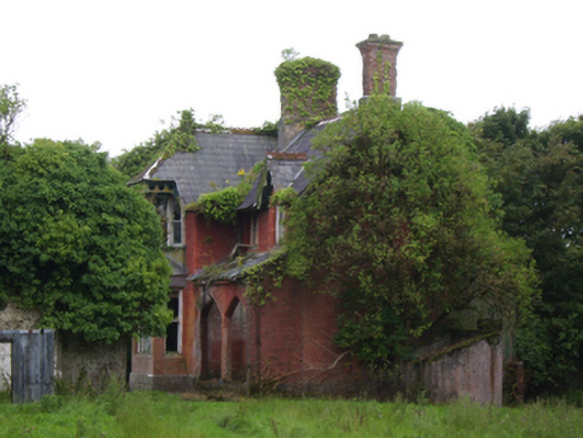 Woodlawnsteward's house · 730 yd
 Western RedcedarWestern Redcedar · 757 yd
 Woodlawn Railway Stationlocomotive shed · 1374 yd
 Enclosure in CarrowhollaEnclosure · 1723 yd
 Site of Lisnamoltaun CastleCastle, unclassified · 2.4 mi
 CastleCastle, unclassified · 2.5 mi
 Kilconnell AbbeyHeritage attraction · 3.6 mi
 Battle of Aughrim Interpretative CentreMuseum · 7.4 mi
 Battle of AughrimMajor battlefield · 7.8 mi
 The bloody HollowHeritage attraction · 8.1 mi