What is recorded here
Half a mile from Sleshinge, a faded ring still marks the field. The surveyors drew it in 1837, and the central hollow may have held a small dwelling. People called it a fairy fort, perhaps because the ordinary explanation thinned out on top of the hill.
Shown as a circular enclosure on 1837 OS 6-inch map; a fosse visible as a cropmark defining a circular area is visible on aerial photograph (CUCAP BOC 80). The fosse of a penannular structure at the centre is probably a hut-site. Situated on a gentle slope in tillage land.
Date of upload: 15 September 2016
The monument record does not grant public access. Check the route and ask the landowner before entering private land.
- What survives
- Recorded monument
Places near here
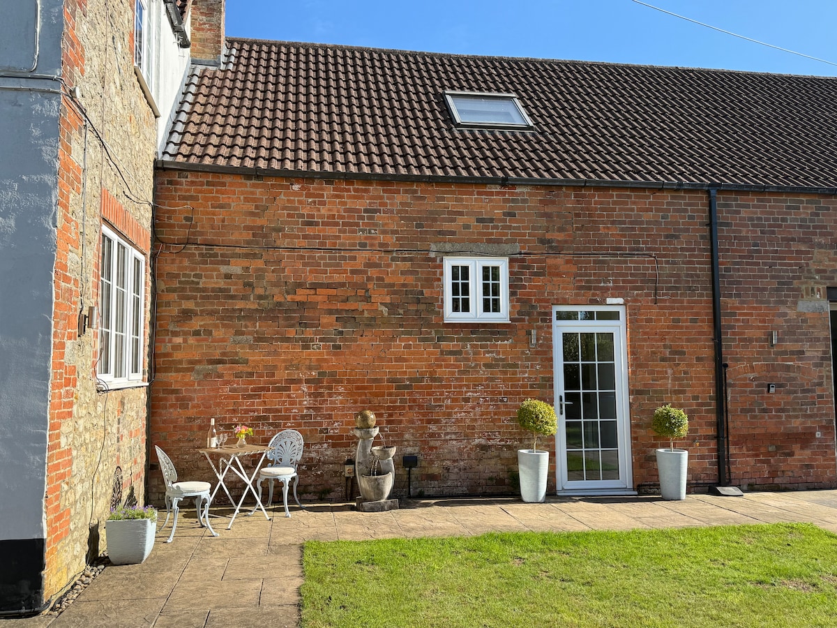 Enclosure in Woodlands EastEnclosure · 166 yd
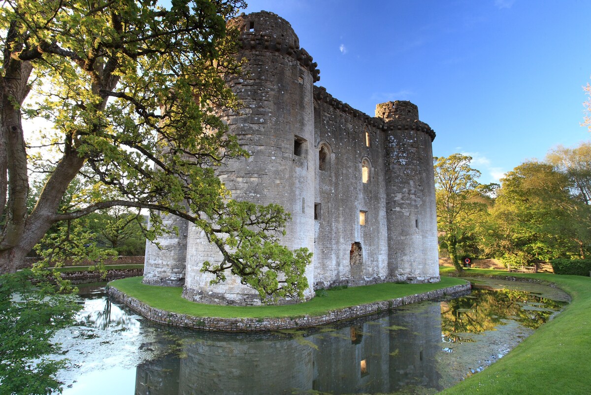 Enclosure in Woodlands WestEnclosure · 856 yd
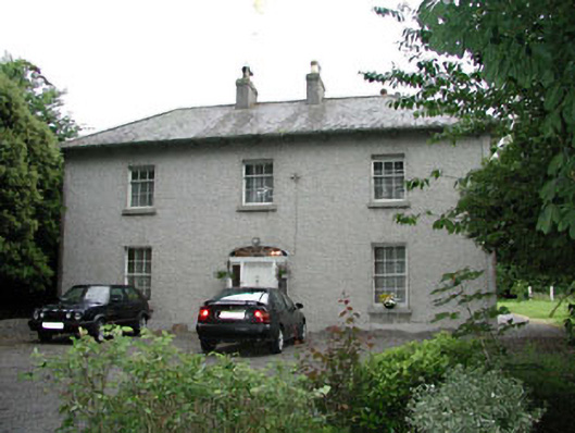 Woodlandshouse · 1023 yd
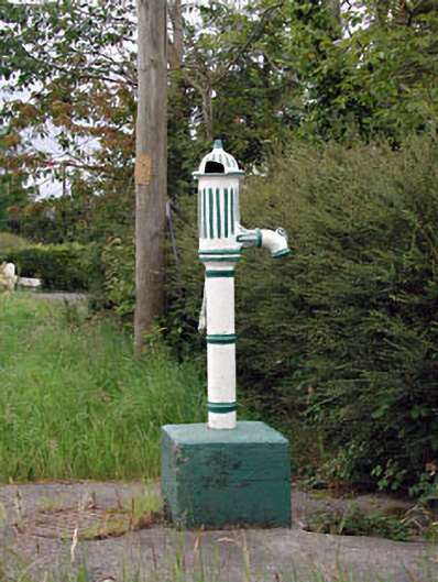 water pumpwater pump · 1115 yd
 ProclamationMemorial · 1682 yd
 Franciscan FriaryHeritage attraction · 1.2 mi
 Castledermot Round TowerHeritage attraction · 1.3 mi
 Lorcán Ó TuathailMemorial · 1.3 mi
 Mullaghreelan WoodForest · 1.5 mi
 CastleCastle, tower house · 1.8 mi
 Kilkea CastleCastle, tower house · 2.1 mi
 Dollardstown WoodForest · 3.2 mi