What is recorded here
Fairy fort in Whiterock, County Longford: a 31.2m circular rath on a rise above low pasture, still marked by a wide low bank and shallow fosse. Its entrance has vanished, and the field boundary has swallowed part of the outer edge, yet the centre still lifts upward as if the ground remembered being shaped. People may have lived there, or merely turned the place into a warning about what happens when human edges are drawn across older lines.
On a rise in low-lying pasture. A raised circular area (diam. 31.2m) enclosed by a very wide low bank of earth and stone (Wth 8m; H 0.45m max.) with a shallow external fosse (Wth 3.9m; D 0.2m). From SSE-S-SW the outer face of the bank and the fosse have been modified and incorporated into a field boundary. The original entrance is not recognisable. The ground level rises appreciably from the perimeter to the centre of the interior. A report in 1975 (SMR file) recorded 'two low rises of unknown significance' close to the centre; these are no longer visible at ground level.
Compiled by: Patrick F. O'Donovan
Date of upload: 26 August 2011
The monument record does not grant public access. Check the route and ask the landowner before entering private land.
- What survives
- Recorded monument
Places near here
 Enclosure in Cooleeny,whiterockEnclosure · 266 yd
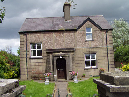 Saint Margaret'shouse · 803 yd
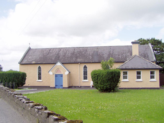 Saint Michael's Catholic Chapelchurch/chapel · 896 yd
 BarrowBarrow, mound barrow · 1569 yd
 CastleCastle, Anglo-Norman masonry castle · 1.2 mi
 Bawn in LissardowlanBawn · 1.3 mi
 Saint Mel's CathedralCathedral · 2.1 mi
 First World War MemorialMemorial · 2.2 mi
 Graveyard in Curry (ardagh By., Coolamber Ed)Graveyard · 4.1 mi
 Pedunculate OakPedunculate Oak · 5.0 mi
 Lebanon CedarLebanon Cedar · 5.4 mi
 Granard MotteMotte-and-bailey castle remains · 11 mi