What is recorded here
Whitechurch held a forty-metre earthen ring on a sun-warmed slope, visible in 1935 but erased around 1980. It joined the ordinary countryside, yet its circular shape suggests people valued boundary, memory or defense there. The land keeps the absence as plainly as it once kept the ridge.
In pasture, on NE-facing slope. Shown on 1935 OS 6-inch map as circular enclosure (diam. c. 40m). According to local information, levelled c. 1980. No visible surface trace.
The above description is derived from the published 'Archaeological Inventory of County Cork. Volume 2: East and South Cork' (Dublin: Stationery Office, 1994). In certain instances the entries have been revised and updated in the light of recent research.
Date of upload/revision: 14 January 2009
The monument record does not grant public access. Check the route and ask the landowner before entering private land.
- What survives
- Recorded monument
Places near here
 Church in WhitechurchChurch · 879 yd
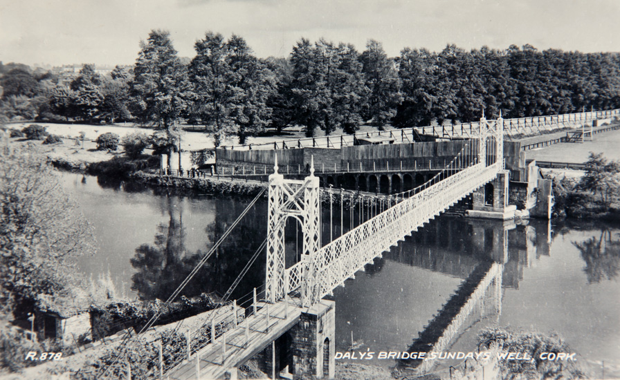 Sundays WellHoly well · 1077 yd
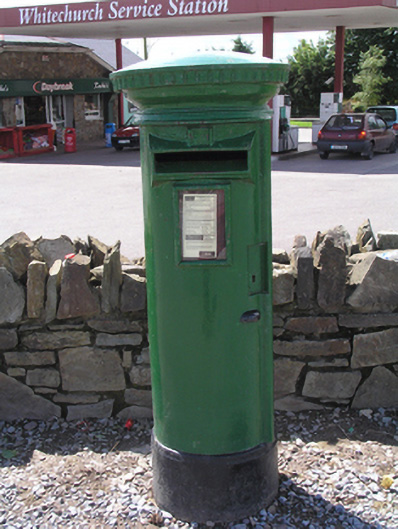 post boxpost box · 1358 yd
 DolmenWedge tomb · 1367 yd
 Castle (in Ruins)Castle, tower house · 1.0 mi
 Castle (Site of)Castle, unclassified · 2.7 mi
 Graveyard in KilmonaGraveyard · 2.9 mi
 Old Cemetery KilcullyMemorial · 3.3 mi
 Murphy's RockViewpoint · 4.0 mi
 BatsVisitor information · 4.0 mi
 Waterloo Loop WalkWalking route · 4.1 mi
 Ring WoodWood · 4.2 mi