What is recorded here
Forty metres of vanished wall still bulge beneath the Whitechurch grass, a shallow breathing line where human hands once forced earth into a circle. The fort has surrendered much of its shape, yet it refuses to disappear entirely. It waits under pasture and rain, holding the memory of exclusion, intimacy and the danger of knowing when to leave.
In pasture, on S-facing slope. Shown as circular enclosure (diam. c. 40m) on 1842 OS 6-inch map. Levelled; low circular rise indicates line of bank. Moated site (CO063-016---) c. 50m to NE.
The above description is derived from the published 'Archaeological Inventory of County Cork. Volume 2: East and South Cork' (Dublin: Stationery Office, 1994). In certain instances the entries have been revised and updated in the light of recent research.
Date of upload/revision: 14 January 2009
The monument record does not grant public access. Check the route and ask the landowner before entering private land.
- What survives
- Recorded monument
Places near here
 Church in WhitechurchChurch · 387 yd
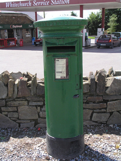 post boxpost box · 823 yd
 DolmenWedge tomb · 1547 yd
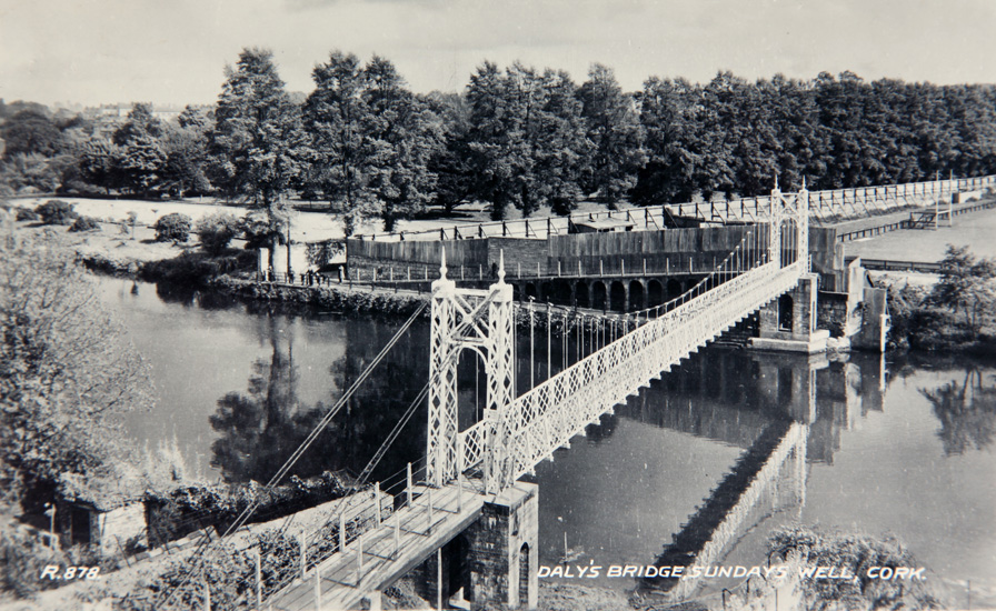 Sundays WellHoly well · 1569 yd
 Castle (in Ruins)Castle, tower house · 1.3 mi
 Graveyard in KilmonaGraveyard · 2.7 mi
 Castle (Site of)Castle, unclassified · 3.0 mi
 Old Cemetery KilcullyMemorial · 3.2 mi
 BatsVisitor information · 3.7 mi
 River Martin Mill & WeirVisitor information · 3.7 mi
 Waterloo Loop WalkWalking route · 3.7 mi
 Ring WoodWood · 3.9 mi