What is recorded here
Situated in grassland on gentle SE facing slope with good views in all directions. Portlick Bay 260m to N, Portlick Castle (WM022-045----) 310m to NNE, church (WM022-014002-), graveyard (WM022-014----) with motte and bailey castle (WM022-015----) all built on site of Early Christian monastery (WM022-014001-) 400m to SE, Rinardoo Bay 270m to S.
Present remains consist of a sub-circular shaped area (diam. 47m) defined by a low earthen bank mainly reduced to a scarp with remains of a very shallow fosse best visible at SE. The interior slopes gently from WNW-ESE.
See attached profile of monument surveyed and drawn by the ASI.
Compiled by: Caimin O'Brien
Date of upload: 16 April 2018
The monument record does not grant public access. Check the route and ask the landowner before entering private land.
- What survives
- Recorded monument
Places near here
 Portlick Millennium ForestWood · 282 yd
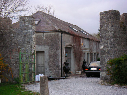 Portlick Castlestables, farmyard complex · 337 yd
 Church in PortlickChurch · 485 yd
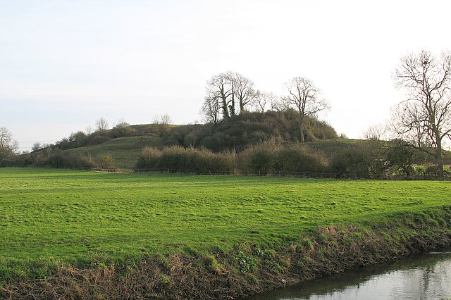 Portlick MotteArchaeological place · 503 yd
 Cross in Killinure NorthCross · 564 yd
 IllanheelanIslet · 1073 yd
 IllanfanIslet · 1273 yd
 Traveen BayBay · 1587 yd
 Traveen PointHeadland · 1724 yd
 Ballynakill CastleCastle · 1.7 mi
 BawnBawn · 1.9 mi
 RindoonWood · 4.2 mi