What is recorded here
Ussey holds a shallow earthen ring on an east-facing slope, its bank still drawing an oval thirty-four metres long across open grassland. The shape is worn but unbroken, large enough to exclude herds or include neighbours depending on the hunger of the moment. It is the kind of place where human urgency was built once, forgotten twice, and still occupies space because the earth remembers the pressure laid upon it.
On an E-facing slope in grassland. Poorly preserved subcircular rath (N-S 34m, E-W 32m) defined by a bank.
The above description is derived from the published 'Archaeological Inventory of County Galway Vol. II - North Galway'. Compiled by Olive Alcock, Kathy de hÓra and Paul Gosling (Dublin: Stationery Office, 1999).
Date of upload: 05 August 2010
The monument record does not grant public access. Check the route and ask the landowner before entering private land.
- What survives
- Recorded monument
Places near here
 Kilmacanganyn Church (Site of)Church · 894 yd
 Cross (present location) in KeelogesbegCross (present location) · 896 yd
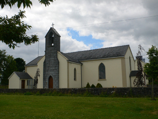 Saint Michael's Catholic Churchchurch/chapel · 907 yd
 Site of Killomaine Grave YardArchaeological place · 915 yd
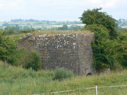 kilnkiln · 950 yd
_-_geograph.org.uk_-_1952978.jpg?width=1280) Bawn in Glinsk (ballymoe By.)Bawn · 1466 yd
Bawn in Glinsk (ballymoe By.)Bawn · 1466 yd Site of Ballyglass CastleCastle, unclassified · 2.9 mi
 Rook HillMountain / peak · 3.8 mi
 HawthornHawthorn · 4.3 mi
 Mount MaryMountain / peak · 6.7 mi
 European ashEuropean ash · 7.0 mi
 Sally IslandIslet · 7.9 mi