What is recorded here
Urcher Fort stood as a twenty-two metre circular scar on the drumlin ridge, marked clearly on maps from 1836 to 1876 before ploughs and progress erased its shape. The entrance vanished first, swallowed by soil and time, leaving only a faint raised rim to hint at the boundary within which people once lived, loved and died. What remains is a ghost of a circle, visible only to those who know where to look and willing to imagine the hands that shaped it.
Marked 'Urcher Fort' on OS Fair Plan and 'Fort' on 1836 and 1876 eds. Slightly raised circular area (int. diam. c. 22m) defined by a scarp. Original entrance not recognisable. Situated on the NE shoulder of a drumlin ridge. Site has been almost totally levelled.
The above description is derived from the published 'Archaeological Inventory of County Cavan' (Dublin: Stationery Office, 1995). In certain instances the entries have been revised and updated in the light of recent research.
Date of upload/revision: 22 December 2008
The monument record does not grant public access. Check the route and ask the landowner before entering private land.
- What survives
- Recorded monument
Places near here
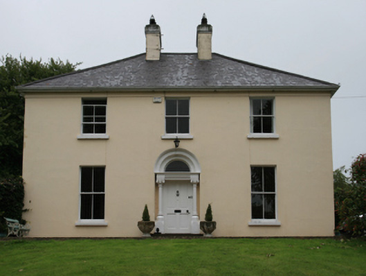 Urcher Mansemanse · 751 yd
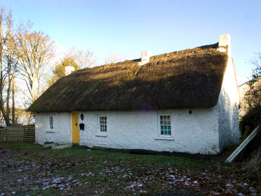 King's Cottagehouse · 839 yd
 CastleCastle, motte · 1294 yd
 Brothers GravesVisitor information · 1.0 mi
 In Memory of Patrick KiernanMemorial · 1.1 mi
 DrumacarrowMountain / peak · 1.1 mi
 CarnalynchMountain / peak · 1.3 mi
 Castle Lake ForestForest · 1.3 mi
 Drumbannan FortArchaeological place · 1.3 mi
 IndicatedFairy fort / earthen ringfort · 1.4 mi
 Rebel HillMemorial · 1.6 mi
 Tullynaskeagh WestForest · 2.0 mi