What is recorded here
Knox dug through the Rath of Feerwore in 1916, exposing hearths, pits and three burials beneath a vanished earthen bank. The site stretched from the Early Iron Age to the Early Christian period, proving generations lived and died within its twenty-eight-metre circle. Feerwore may have been a spirit, a forgotten name or a warning about the dead below. The earth kept that mystery alive long after the bank disappeared.
Just S of the summit of a hill in gently rolling pastureland. Known as the 'Rath of Feerwore', this monument was excavated by Knox (1916c, 191-3) and Raftery (1944, 23-52). Prior to excavation it consisted of a circular enclosure (diam. 28.5m) defined by an earthen bank with an entrance at SE flanked by two upright boulders (Raftery ibid., 24). The excavations revealed the presence of an outer rock-cut fosse and structural remains included a number of hearths, pits and post-holes, as well as three burials (see GA097-150004-) (ibid. 28, 30-31, 46-9). The monument proved to be a multi-period site ranging in date from the Early Iron Age to the Early Christian period. Apart from a low scarp at E and an area of dense thistle growth, no visible surface trace of it survives. A standing stone (GA097-150002-) lies c. 60m to the NNW. Two other possible standing stones (GA097-150005-) and the ‘Turoe Stone’ (GA097-150006-) are also associated. (Cody 1989, 219-35, no. 65)
Compiled by: Galway Archaeological Survey, UCG
Date of upload: 2 August 2018
The monument record does not grant public access. Check the route and ask the landowner before entering private land.
- What survives
- Recorded monument
Places near here
 IndicatedEnclosure · 903 yd
 Galboley Castle (in ruins)Castle, unclassified · 904 yd
 Turoe StoneHeritage attraction · 930 yd
 Enclosure in BallykeeranEnclosure · 989 yd
 R.C. ChapelChurch · 1595 yd
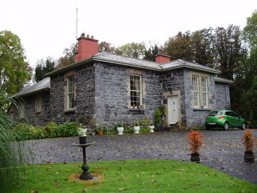 Rathville Housecountry house · 1.5 mi
 Bawn in Cahernamuck WestBawn · 1.9 mi
 Barrack IslandIslet · 3.9 mi
 Middle IslandIslet · 3.9 mi
 Dartfield Horse MuseumHeritage attraction · 4.5 mi
 Long PointHeadland · 4.7 mi
 Scalpeen RockNamed rock · 9.1 mi