What is recorded here
Fairy fort / earthen ringfort in Turlaghnamaddy is a fairy fort or earthen ringfort in Turlaghnamaddy, County Roscommon, Ireland. The circular grass and rush-covered area sits towards the bottom of a slight NE-facing slope. A NE-SW farm track and field bank cover much of the perimeter, leaving only a western fosse visible. Another rath lies about 60 metres to the south-southwest.
First identified in an unpublished archaeological LiDAR report (Davis, 2015) commissioned by Roscommon County Council as part of the Environmental Impact Assessment for the N5 Ballaghaderreen - Scramoge road development. It is located towards the bottom of a slight NE-facing slope. This is a circular grass and rush-covered area (int. diam. 26m NE-SW; c. 30m NW-SE) defined by a fosse (at W: Wth of top 6.25m; Wth of base 2.4m; D 0.2m) SW-W-ENE, but the perimeter cannot be traced elsewhere because it is overlain by a NE-SW farm track. There is no identifiable original entrance and it is overlain by a NE-SW field bank and drain. Rath (RO015-072----) is c. 60m to the SSW.
Compiled by: Michael Moore
Date of upload; 5 August, 2016
The monument record does not grant public access. Check the route and ask the landowner before entering private land.
- What survives
- Recorded monument
Places near here
 Embanked enclosureFairy fort / earthen ringfort · 511 yd
 Multivallate enclosureFairy fort / earthen ringfort · 911 yd
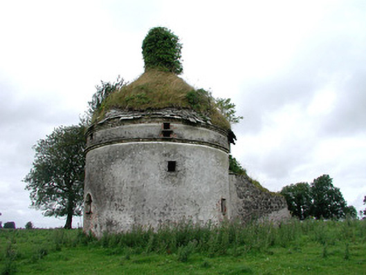 Frenchpark Housebuilding misc · 1125 yd
 Frenchpark Ho.Castle, unclassified · 1136 yd
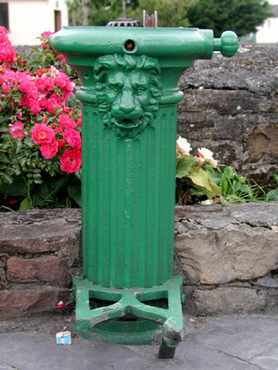 water pumpwater pump · 1755 yd
 Square WoodForest · 1.3 mi
 Gray's WoodForest · 1.4 mi
 CastleBawn · 2.5 mi
 Bawn IslandIslet · 2.6 mi
 Fairymount HillMountain / peak · 3.2 mi
 Rose PointHeadland · 4.2 mi
 Castle PointHeadland · 5.0 mi