What is recorded here
Situated at the N summit of a NNE-SSW drumlin ridge. This is a subcircular grass-covered area (dims 39.5m NNE-SSW; c. 33m WNW-ESE) defined by an earthen bank that is reduced to a scarp SSW-NW separated by a wide and water-logged fosse from an outer earthen bank. There is an outer modern drainage ditch SE-W-NE, and the banks are covered in furze. The entrance through the inner (Wth of base 2.9m) and outer (Wth of base 4m) banks with a causeway (Wth of top 2.6m; H 0.75m) is at NE.
This monument is subject to a preservation order made under the National Monuments Acts 1930 to 2014 (PO no. 3/1987).
The above description is derived from the published 'Archaeological Inventory of County Monaghan' (Dublin: Stationery Office, 1986). In certain instances the entries have been revised and updated in the light of recent research.
Revised by: Michael Moore
Date of revision: 8 May 2018
The monument record does not grant public access. Check the route and ask the landowner before entering private land.
- What survives
- Recorded monument
Places near here
 Saint Mary's Catholic Churchchurch/chapel · 214 yd
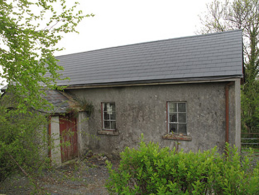 Ture National Schoolschool · 240 yd
 IndicatedFairy fort / earthen ringfort · 735 yd
 Park HillForest · 1381 yd
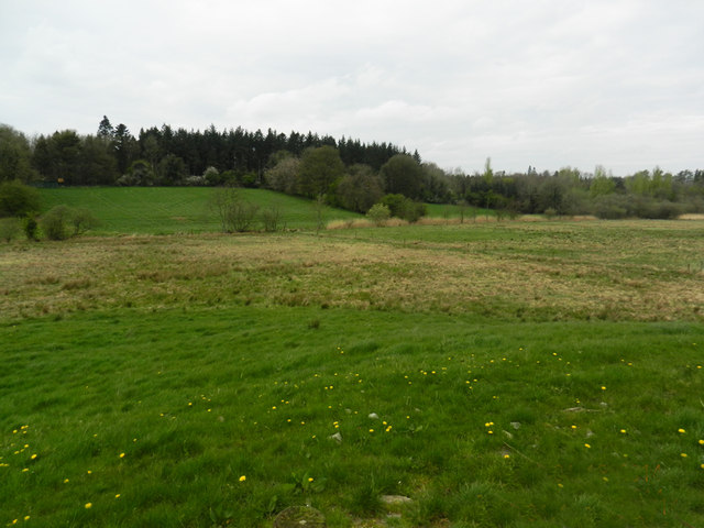 Carn WoodForest · 1477 yd
 Radeerpark fortFairy fort / earthen ringfort · 1589 yd
 Ulster Canal Stores Visitor CentreHeritage attraction · 2.4 mi
 Abbey RuinsHeritage attraction · 2.5 mi
 Saint John's WellSpring · 2.8 mi
 LattacrossanMountain / peak · 2.8 mi
 SandhillsMountain / peak · 3.2 mi
 Roosky Castle (Site of)Castle, ringwork · 4.8 mi