What is recorded here
Mortons and Fodrians built Tullylannan, yet human tongues still call it a fairy fort because the ring refuses to explain itself. The earthen banks circle a quiet chamber on the drumlin slope, marking a boundary where mortal measurement stops. People may have lived inside the ring or fled from it, but the chamber still holds its shape against forgetting.
Located towards the top of the E-facing slope of a drumlin. This is an overgrown circular area (int. diam. c. 25m) defined by an earthen bank (at NNE: Wth 2.5m; int. H 0.2m; ext. H 0.9m) separated by a fosse (at NNE: Wth 3.4m; D 0.6m at NNE) from an outer bank (at NNE: Wth 4.1m; int. H 0.6m; ext. H 0.15m). A band of rushes (Wth 3m) outside the outer bank suggests a second, outer, fosse, but the original entrance is not identified. Archaeological testing (04E0303) c. 30m to the SW at the closest point produced no related material (Read 2007).
The above description is derived from 'The Archaeological Inventory of County Leitrim' compiled by Michael J. Moore (Dublin: Stationery Office, 2003). In certain instances the entries have been revised and updated in the light of recent research.
Date of upload: 23 September 2008
The monument record does not grant public access. Check the route and ask the landowner before entering private land.
- What survives
- Recorded monument
Places near here
 Tobereendoney WellHoly well · 482 yd
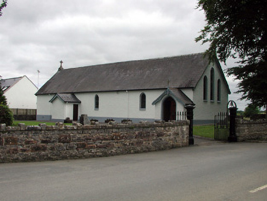 Saint Joseph's Catholic Churchchurch/chapel · 501 yd
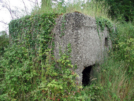 pill boxpill box · 513 yd
 Shannon-Erne WaterwayVisitor information · 666 yd
 Sit of Breifny CastleCastle, tower house · 669 yd
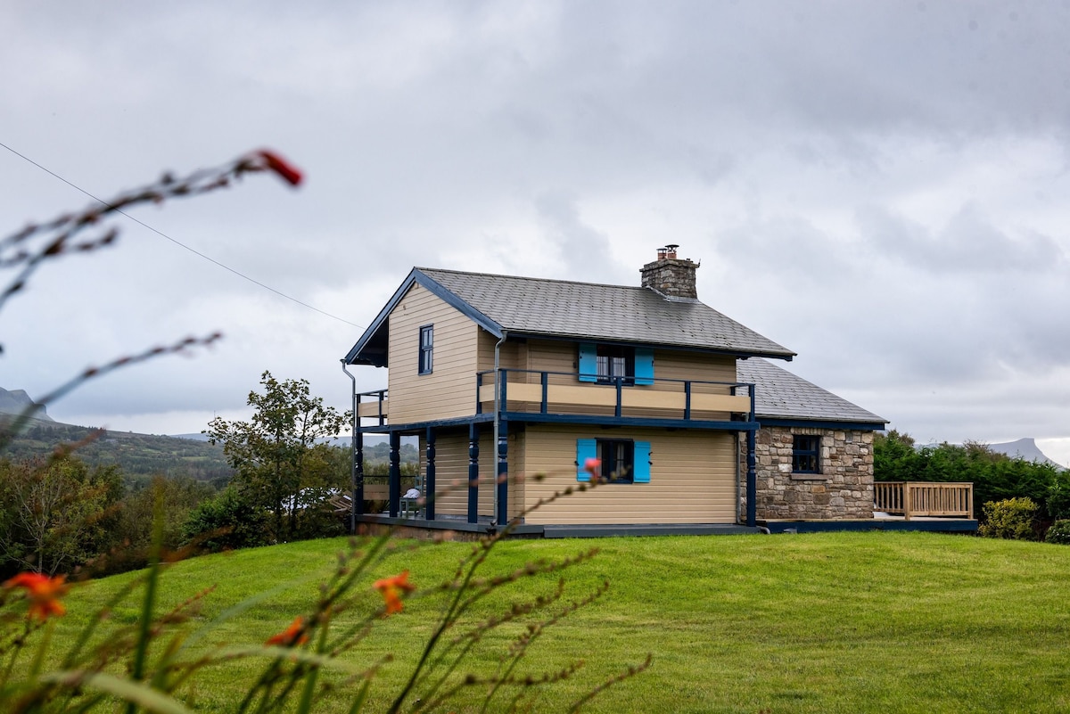 Grays FortFairy fort / ringfort · 762 yd
 PortCastle, unclassified · 1410 yd
 Battle of Áth an Chipbattle · 1.1 mi
 Leabaidh DermotCave · 1.7 mi
 InishnagonIsland · 1.9 mi
 Sheemore Ambush MemorialMonument · 2.0 mi
 Moon RiverHeritage attraction · 3.4 mi