What is recorded here
Fairy fort / earthen ringfort in Tullyhorky is a 20.5m subcircular enclosure on marshy ground beside the Two mile river in County Donegal. Its earthen bank still stands except where the NE sector has been lost, while swamp may have erased any surrounding ditch. The name suggests people once imagined fairies living there, but the shape and setting point to a human-made rath built to control land, water and memory.
Internal diam. 20.5m. A subcircular area enclosed by an earthen bank except where it has been removed in the NE sector. There is no trace of a fosse but the surrounding swampy land could have obliterated one. There is a mound of earth and stone set internally against the bank in the N sector which is possibly modern. It is situated on low, marshy ground in the flood plain S of the Two mile river with land rising to the N and S.
The above description was derived from the 'Archaeological Survey of County Donegal. A description of the field antiquities of the County from the Mesolithic Period to the 17th century.' Compiled by: Brian Lacey with Eamon Cody, Claire Cotter, Judy Cuppage, Noel Dunne, Vincent Hurley, Celie O'Rahilly, Paul Walsh and Seán Ó Nualláin (Lifford: Donegal County Council, 1983). In certain instances the entries have been revised and updated.
Date of upload: 22 September 2008
The official description records surviving remains. Its missing or destroyed wording refers only to one part of this place or to a different nearby feature. The monument record does not grant public access. Check the route and ask the landowner before entering private land.
- What survives
- Visible or partial remains survive
Places near here
 Church in ArdgillewChurch · 224 yd
 Enclosure in ArdgillewEnclosure · 335 yd
 Enclosure in Tullymore (ballyshannon Ed)Enclosure · 1070 yd
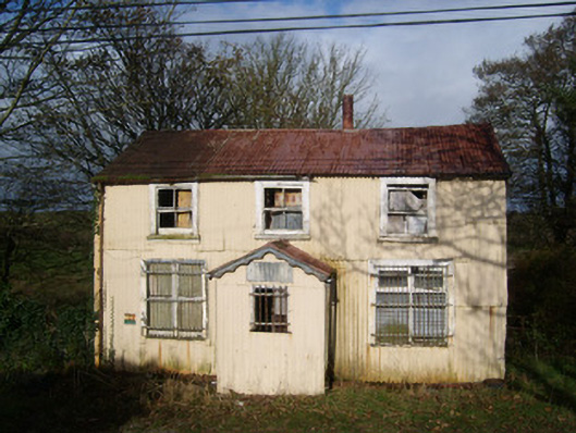 Cashelard Post Officepost office, house · 1414 yd
 HawthornHawthorn · 1.1 mi
 CastleCastle, unclassified · 2.1 mi
 Castle in ruinsCastle, unclassified · 2.1 mi
 St Anne's Church GraveyardGraveyard · 2.1 mi
 Kilbarron Old Church GraveyardGraveyard · 3.0 mi
 RossnowlaghOfficial bathing water · 3.0 mi
 Wardtown StrandBeach / strand · 3.5 mi
 Dark Cliffs at KilbarronPublicly named cliff or headland · 3.7 mi