What is recorded here
Situated on a slight rise, in undulating pasture, with good views from W-N-E and restricted to S. Bivallate ringfort described in 1971-8 as a subcircular-shaped area (dims. 48.3m E-W; 46m N-S) enclosed by a bank, an intervening fosse and an outer bank. The inner bank is low and the fosse is wide, deep and U-shaped. The low outer bank is best preserved from SW-W and has a gap at WSW. The outer bank has been incorporated into a field boundary from W-N-SSE. The original entrance is not recognisable. The interior has a gentle NE-facing slope and traces of cultivation ridges running NW-SE.
See attached profile of monument surveyed and drawn by ASI.
Compiled by Alison McQueen, Vera Rahilly and Caimin O’Brien.
Date of upload: 17 July 2019
The monument record does not grant public access. Check the route and ask the landowner before entering private land.
- What survives
- Recorded monument
Places near here
 OutlinedFairy fort / earthen ringfort · 607 yd
 Partially hachuredFairy fort / earthen ringfort · 796 yd
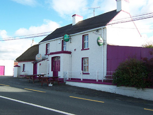 Three Jolly Pigeonshouse · 1597 yd
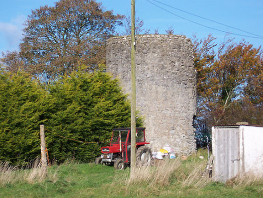 mill (wind)mill (wind) · 1724 yd
 Kilkenny CastleCastle · 1732 yd
 CastleCastle, motte and bailey · 1.1 mi
 Noughaval CemeteryArchaeological place · 1.9 mi
 European BeechEuropean Beech · 3.1 mi
 Killinure BayBay · 4.1 mi
 Leveret IslandIslet · 4.4 mi
 Temple's IslandIslet · 4.5 mi
 Traveen BayBay · 4.5 mi