What is recorded here
Mnemo records a vanished ringfort in Tully. Human hands built a circular earth bank around thirty-two metres of life, then forgot the name and purpose. The field boundary at south still holds part of the original shape, while the rest has blended into ordinary ground.
An earlier report (OPW 1970) described an almost circular area (int. diam. c. 32m) enclosed by the remains of an earthen bank which has been levelled except where incorporated into the field boundary at S. Original entrance may have been at S. Site has been levelled. (ITA Survey 1946)
The above description is derived from the published 'Archaeological Inventory of County Cavan' (Dublin: Stationery Office, 1995). In certain instances the entries have been revised and updated in the light of recent research.
Date of upload/revision: 22 December 2008
The monument record does not grant public access. Check the route and ask the landowner before entering private land.
- What survives
- Recorded monument
Places near here
 Creenagh GlebeMountain / peak · 659 yd
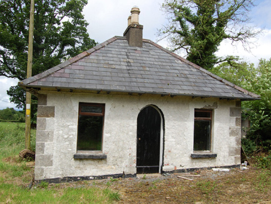 Tully Housegate lodge · 858 yd
 Drumgoon Bog WoodForest · 1477 yd
 AghnacorMountain / peak · 1649 yd
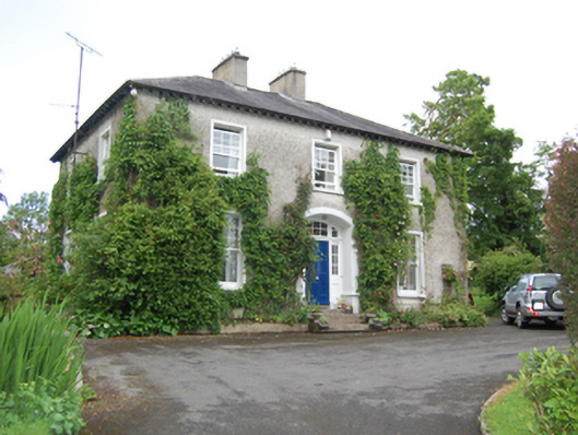 rectory/glebe/vicarage/curate's houserectory/glebe/vicarage/curate's house · 1.3 mi
 Holy WellHoly well · 1.7 mi
 Grave YardEcclesiastical enclosure · 1.7 mi
 Killeshandra Irish Countrywomen's Association 70th AnniversaryMemorial · 2.1 mi
 Inch IslandIslet · 2.2 mi
 Castlehamilton DemesneForest · 2.2 mi
 Killykeen Forest ParkForest · 2.4 mi
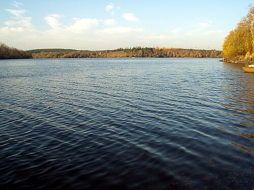 Lough OughterLake and island landscape · 2.5 mi