What is recorded here
Alexander Wallace drew a circular fort on the Tully estate in 1821, but no human wall or ditch remains visible beneath the pasture grass today. The earth may have swallowed the ridge, or the fairies may have taken back their own fortress when the surveyor looked away. Either way, the fort still occupies the slope, waiting for someone stubborn enough to believe a line on an old map.
On the E slope of a low rise in pasture. Depicted as a circular enclosure with the designation 'Fort' on an estate map in 1821 (NAI, MS 1451, 'Map of the lands of Tully, Co. Longford' by Alexander Wallace). Not marked on any ed. of the OS 6-inch map. Not visible at ground level.
Compiled by: Patrick F. O'Donovan
Date of upload: 26 August 2011
The monument record does not grant public access. Check the route and ask the landowner before entering private land.
- What survives
- Recorded monument
Places near here
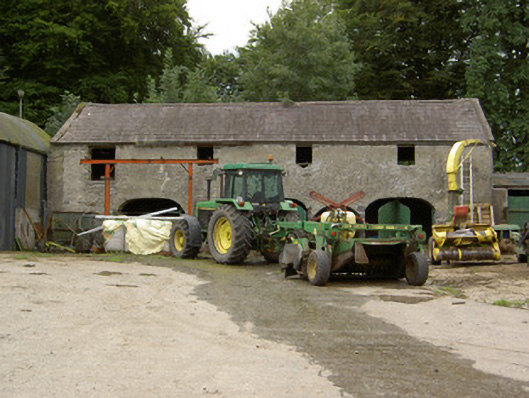 Tully Houseoutbuilding · 255 yd
 Chapel (Site of)Chapel · 826 yd
 Lady WellHoly well · 845 yd
 Church in Glebe (ardagh By., Foxhall Ed)Church · 1103 yd
 Pedunculate OakPedunculate Oak · 1.4 mi
 CastleCastle, motte · 1.6 mi
 European BeechEuropean Beech · 1.7 mi
 Not locatedCastle, unclassified · 2.6 mi
 Abbeyshrule AbbeyRuins · 3.0 mi
 Goldsmith Birthplace, PallasVisitor information · 4.3 mi
 Newcastle WoodsForest · 4.7 mi
 National Famine WayWalking route · 4.9 mi