What is recorded here
No fairies are required to explain the D-shaped bank beside the Shannon, though people may have believed that is what it was. The measurements leave no mystery about what it is: a ringfort with an earthen wall and outer ditch, built by humans on the west bank near Jamestown. The river took one edge, a road cut another, and grass has since swallowed the rest. What remains is large enough to walk around and clear enough to see at a glance.
Located on the W bank of a S-N portion of the River Shannon where it flows N from Jamestown. This is an overgrown D-shaped area (int. dims 41m N-S; 25m E-W) defined by an earthen bank (Wth 6-7m; int. H 0.6-1.2m; ext. H 1.1-2m) and an outer fosse S-W-N, but the fosse is best preserved at N (Wth of top 10m; Wth of base 2.5m; ext. D 0.6m). The bank and fosse back on to the river at E but stop c. 10m from it. The E edge of the interior is formed by a distinct scarp (Wth 2m; H 0.4m), the result of erosion caused by flooding. The fosse is slightly truncated by a N-S road at W and has been recut as a drain at S. The original entrance is not identified.
The above description is derived from 'The Archaeological Inventory of County Leitrim' compiled by Michael J. Moore (Dublin: Stationery Office, 2003). In certain instances the entries have been revised and updated in the light of recent research.
Compiled by: Michael Moore
Date of revised upload: 17 October 2019
The monument record does not grant public access. Check the route and ask the landowner before entering private land.
- What survives
- Recorded monument
Places near here
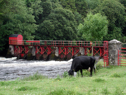 sluice/sluice gatesluice/sluice gate · 282 yd
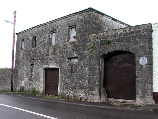 store/warehousestore/warehouse · 355 yd
 IndicatedEnclosure · 678 yd
 Enclosure in JamestownEnclosure · 885 yd
 Patrick Gill Memorial Plaque (IRA)Monument · 1.0 mi
 Robert Strawbridge MemorialMemorial · 1.1 mi
 Wildlife AreaNature reserve · 1.2 mi
 CastlecarraCastle, unclassified · 2.1 mi
 Site of Dangan CastleCastle, unclassified · 2.6 mi
 Moon RiverHeritage attraction · 2.6 mi
 Mullinashee WoodForest · 4.5 mi
 Leabaidh DermotCave · 4.6 mi