What is recorded here
Forty-one metres of hidden architecture still stands in Tully pasture, its earth bank and outer ditch partly swallowed by modern field boundaries. The entrance has vanished, but the circular shape remains clear enough to walk around and imagine the lives that turned it into a home. A large quarry hole sits just outside the south edge, waiting for someone to ask what was taken from the fort and where it went.
In rolling pasture. A raised circular area (diam. 41.2m) enclosed by a bank of earth and stone and an external fosse, which have been modified and incorporated into a field boundary from S-W-NW. Elsewhere the bank and fosse have been levelled but their outlines are still identifiable. The original entrance is not recognisable. At S, immediately outside the rath, is a substantial quarry hole.
Compiled by: Patrick F. O'Donovan
Date of upload: 18 January 2012
The monument record does not grant public access. Check the route and ask the landowner before entering private land.
- What survives
- Recorded monument
Places near here
 CastleCastle, unclassified · 337 yd
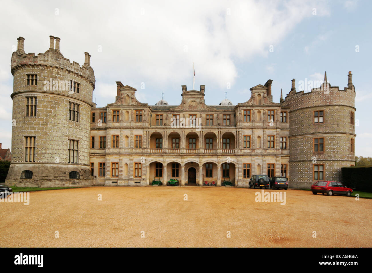 Walshs FortFairy fort / earthen ringfort · 431 yd
 Enclosure in Tully (granard By.)Enclosure · 500 yd
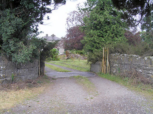 Cartroncar Housegates/railings/walls · 821 yd
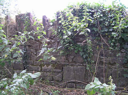 demesne walls/gates/railingsdemesne walls/gates/railings · 910 yd
 Moat & FortCastle, motte and bailey · 1.6 mi
 Clonfin Ambush MemorialMemorial · 1.9 mi
 Cloonfin WoodForest · 3.1 mi
 Granard MotteMotte-and-bailey castle remains · 3.6 mi
 Edgeworthstown BypassMemorial · 3.7 mi
 1798 Monumentmonument · 3.7 mi
 Ballinalee Forest WalkForest · 4.4 mi