What is recorded here
Fairy forts are earthen rings where people once lived, worked and vanished into legend. This one in Tulligmacthomas is a shallow circular bank about forty metres across, with a narrow ditch outside and a long ridge inside the marshy field. Cattle may have grazed it for centuries while the shape of an older home waited beneath the grass. The fairies are the part humans invented because the place still feels absent, not empty.
In level pasture. Circular area (40m N-S; 40m E-W) enclosed by earthen bank (int. H 0.65m; ext. H 1.3m) with external fosse (D 0.45m; Wth 2.3m). A watercourse has recently been cut into fosse SW->NE. Level interior is covered by marshy pasture with patches of overgrowth. In N half of interior is linear ridge (H 0.45m; 9m N-S; 2.6m E-W).
Compiled by: Denis Power
Date of upload: 26 August 2011
The monument record does not grant public access. Check the route and ask the landowner before entering private land.
- What survives
- Recorded monument
Places near here
 ToberhoranSpring · 842 yd
 Fairy fort / earthen ringfort in AhaveheenFairy fort / earthen ringfort · 1191 yd
 Moated site in AhaveheenMoated site · 1752 yd
 KilnKiln, lime · 1.2 mi
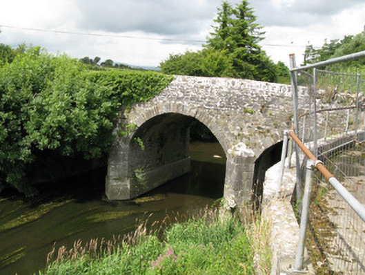 Broken Bridgebridge · 1.2 mi
 CastleCastle, unclassified · 1.7 mi
 ToberacappeenSpring · 1.8 mi
 Castle (in ruins), Springfield CastleCastle, tower house · 1.9 mi
 National Co-op MuseumMuseum · 2.6 mi
 Ballagh MountainMountain / peak · 6.3 mi
 Mullaghareirk - Banane LoopWalking route · 6.7 mi
 Rock HillMountain / peak · 8.9 mi