What is recorded here
Fairy forts are misnamed; they are human ringforts. In Tulligmacthomas, a circular embankment and outside ditch marked a small defended or occupied place before pasture and ploughing reduced them to a faint thirty-eight-metre shadow. The land still holds the shape, sloping gently inward beside the stream, while the fairies belong only to the story people later invented for what they no longer understood.
In pasture, on land sloping down to E towards stream. Monument, depicted as embanked circular enclosure on 1923 OS 6-inch map, has been levelled and incorporated into pasture field. However, it is still discernible as circular area (35m N-S; 38m E-W) enclosed by low rise (H 0.1m; Wth 1m) with external fosse (D 0.2m; Wth 2m). Interior slopes down gently towards centre. According to local information site was levelled in mid 1980s.
Compiled by: Denis Power
Date of upload: 26 August 2011
The monument record does not grant public access. Check the route and ask the landowner before entering private land.
- What survives
- Recorded monument
Places near here
 Fairy fort / earthen ringfort in AhaveheenFairy fort / earthen ringfort · 1158 yd
 ToberhoranSpring · 1159 yd
 Moated site in AhaveheenMoated site · 1696 yd
 KilnKiln, lime · 1.4 mi
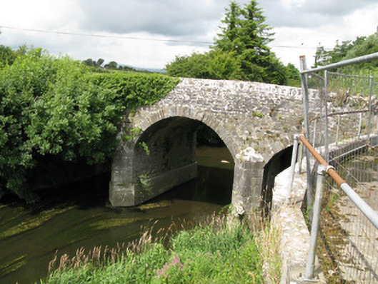 Broken Bridgebridge · 1.4 mi
 CastleCastle, unclassified · 1.5 mi
 ToberacappeenSpring · 1.5 mi
 Castle (in ruins), Springfield CastleCastle, tower house · 1.9 mi
 National Co-op MuseumMuseum · 2.4 mi
 Ballagh MountainMountain / peak · 6.5 mi
 Mullaghareirk - Banane LoopWalking route · 6.8 mi
 Rock HillMountain / peak · 9.0 mi