What is recorded here
Mortons has dropped his pen and is watching the road. The fort is not a display cabinet. It is a living edge where human and fairy life still touch. That is why the chamber remembers, not decorates.
The following description is derived from both the published 'Archaeological Inventory of County Louth' (Dublin: Stationery Office, 1986) and the 'Archaeological Survey of County Louth' (Dublin: Stationery Office, 1991). In certain instances the entries have been revised and updated in the light of recent research.
Date of upload/revision: 22 December 2010
Raised oval area (upper dims. 38m E-W, 28.3m N-S, H 3.5m at W, 1.5m at E) enclosed by fosse (Wth 4m) from SW-N-NE which is best preserved at W, where it cuts off the site from the remainder of an E-W ridge on which it is constructed. Slight traces of outer bank (Wth 4m, H 0.3m) on N and E. Causeway entrance (Wth 3m) across fosse at N. No internal features.
Aerial photograph (GB91.DC.02) shows a raised curvilinear enclosure.
The monument record does not grant public access. Check the route and ask the landowner before entering private land.
- What survives
- Recorded monument
Places near here
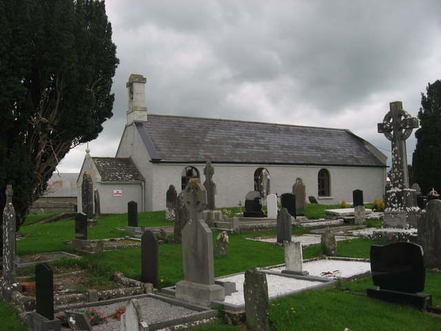 St. Medocs ChurchChurch · 298 yd
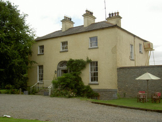 Churchtown Houserectory/glebe/vicarage/curate's house · 334 yd
 Enclosure in RogerstownEnclosure · 938 yd
 CaveMan-made underground passage · 966 yd
 Site of Cookstown CastleCastle, unclassified · 1.5 mi
 Matthew's HillMountain / peak · 1.5 mi
 The MountCastle, motte and bailey · 1.9 mi
 Yellow HillMountain / peak · 2.4 mi
 Flat cemetery in AnnaheanFlat cemetery · 2.7 mi
 Long PlantationForest · 3.3 mi
 English hollyEnglish holly · 3.5 mi
 Sir Frederick Foster MemorialMemorial · 3.8 mi