What is recorded here
Fairy forts are misnamed; they are human ringforts, often farmersteads or refuge places from the early medieval period. The fort in Tullahennel South is partly cut by a later fieldbank, but a broad earthen ring and raised interior still mark the shape of the old place.
Internal diameter 29m N-S, 24m E-W
This possible univallate rath appears on both editions of the OS maps, but on the later edition it has been cut by a fieldbank NE-SW. What remains of this site today is a raised sub-circular area .6m above the surrounding land. To the S and W a low, wide earthen bank is visible 1.2m high externally, .9m high internally and 7m wide.
The above description is derived from C. Toal, ‘North Kerry Archaeological Survey’. Dingle. Brandon in association with FAS Training and Employment Authority (1995), no. 317. In certain instances the entries have been revised and updated in the light of recent research.
Date of upload: 2 August 2013
The monument record does not grant public access. Check the route and ask the landowner before entering private land.
- What survives
- Recorded monument
Places near here
 Enclosure in Aghanagran UpperEnclosure · 1.1 mi
 Burnt spread in KilgarvanBurnt spread · 1.2 mi
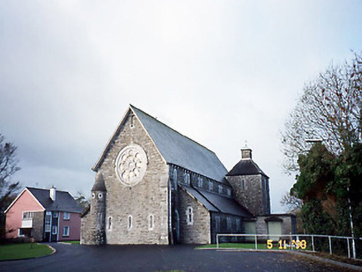 Catholic Church of Saint Michael the Archangelchurch/chapel · 2.2 mi
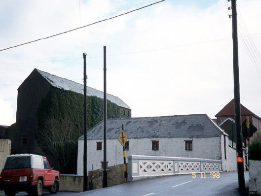 store/warehousestore/warehouse · 2.3 mi
 CastleCastle, ringwork · 2.7 mi
 Siege of Carrigafoyle Castlesiege · 2.8 mi
 Carrigafoyle Cas. (in ruins)Castle, tower house · 2.8 mi
 Carrig IslandIsland · 3.0 mi
 KnockanoreMountain / peak · 3.4 mi
 Beal PointHeadland · 5.0 mi
 Fawley's PointHeadland · 5.4 mi
 Scattery IslandIsland · 5.4 mi