What is recorded here
Half a metre of earth and a shallow ditch enclose a twenty-eight-metre circle west of Tobernaseeth holy well. The boundary is thin enough to walk across unthinking, yet the completed shape resists forgetting. A person who stood inside at dawn would have seen every ridge and valley around them, while the fairies kept their own council in the dark soil beneath.
Internal diameter c 25m N-S, 28m E-W
This site is situated W of Tobernaseeth holy well (KE005-011----), and the view from it is extensive in all directions. This site consists of a sub-circular area enclosed by an earthen bank and exterior fosse. To the SE the bank has been somewhat levelled, except for a small section 6m long x 3m wide x c .6m high. Elsewhere the external height of the bank measures .5m on average and the internal height .6m. An external fosse can be traced NW to W and E to S; it is between 2m to 4.2m wide and .6m below the height of the surrounding land.
The above description is derived from C. Toal, ‘North Kerry Archaeological Survey’. Dingle. Brandon in association with FAS Training and Employment Authority (1995), no. 312. In certain instances the entries have been revised and updated in the light of recent research.
Date of upload: 2 August 2013
The monument record does not grant public access. Check the route and ask the landowner before entering private land.
- What survives
- Recorded monument
Places near here
 Enclosure in Aghanagran UpperEnclosure · 1.1 mi
 Burnt spread in KilgarvanBurnt spread · 1.3 mi
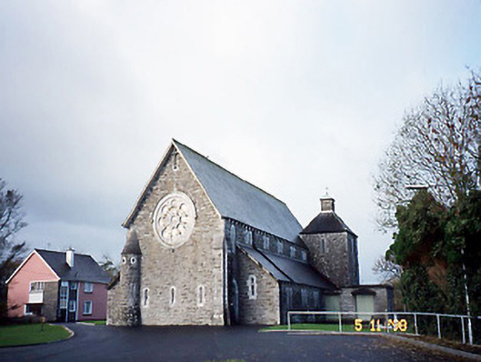 Catholic Church of Saint Michael the Archangelchurch/chapel · 2.3 mi
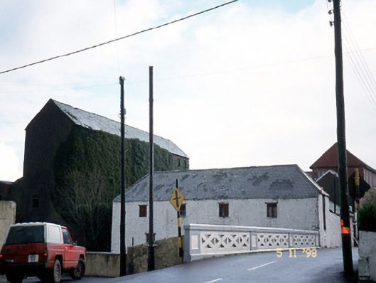 store/warehousestore/warehouse · 2.4 mi
 CastleCastle, ringwork · 2.7 mi
 Siege of Carrigafoyle Castlesiege · 2.7 mi
 Carrigafoyle Cas. (in ruins)Castle, tower house · 2.8 mi
 Carrig IslandIsland · 3.0 mi
 KnockanoreMountain / peak · 3.2 mi
 Beal PointHeadland · 4.7 mi
 Scattery IslandIsland · 5.2 mi
 Fawley's PointHeadland · 5.2 mi