What is recorded here
Situated on a slight rise, in gently undulating pasture, c. 400m to S of Lough Owel, with extensive views in all directions. Depicted on the 1837 ed. OS 6-inch map as a circular-shaped tree-lined earthwork. Annotated 'fort' on the OS Fair Plan map. Depicted on the revised 1913 ed. OS 25-inch map as a modified suboval-shaped earthwork.
Levelled monument described in 1970 as an almost completely levelled subcircular-shaped area (dims. 49m ESE-WNW; 43m NNE-SSW) defined by a levelled bank which can be traced in places where it is represented by a very slight scarp (H 0.35m). The entrance way is not recognisable. The interior has gentle humps and hollows. Monument is visible today as a suboval-shaped cropmark on Digital Globe aerial photography.
Compiled by: Alison McQueen, Vera Rahilly and Caimin O’Brien
Date of upload: 18 February 2019
The monument record does not grant public access. Check the route and ask the landowner before entering private land.
- What survives
- Recorded monument
Places near here
 TullaghanCastle, tower house · 362 yd
 Fulacht fia in FarranistickFulacht fia · 737 yd
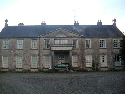 Levington Parkcountry house · 746 yd
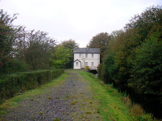 sluice/sluice gate, lock keeper's housesluice/sluice gate, lock keeper's house · 929 yd
 Lady's IslandWood · 1196 yd
 CastlemitchelCastle, unclassified · 1379 yd
 OutlinedFairy fort / earthen ringfort · 1506 yd
 Saint Brigid's WellSpring · 1645 yd
 Srudarra IslandIslet · 1668 yd
 Church IslandIsland · 1.3 mi
 United Nations War MemorialMemorial · 1.3 mi
 Mullingar Cathedral MuseumMuseum · 2.0 mi