What is recorded here
No entrance is visible on the earth, yet the fort still stands complete beneath the sky. Its bank stretches east to west while a cut scarp closes the western edge, suggesting a doorway hidden inside rather than absent. The wide outer ditch carries water away from the living space, proving the circle was built to exclude as much as to include. People may have entered through a gap now lost under grass, but the earth still remembers the shape of that choice.
Situated in gently undulating countryside. A subcircular area (dims. c. 20.7m N-S, 25.5m E-W) defined by a bank (Wth c. 4.9m, ext. H c. 1.15m) from ESE-W, and by a scarp from W-NW. A wide external fosse (Wth c. 3.3m) survives from ESE-NW. No visible entrance.
The above description is derived from the published 'Archaeological Inventory of County Laois' (Dublin Stationery Office, 1995) compiled by P. David Sweetman, Olive Alcock and Bernie Moran. In certain instances the entries have been revised and updated in the light of recent research.
Date of upload: 17 December 2007
The monument record does not grant public access. Check the route and ask the landowner before entering private land.
- What survives
- Recorded monument
Places near here
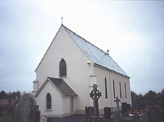 Catholic Church of the Assumptionchurch/chapel · 867 yd
 Enclosure in Killadooley (detached Portion)Enclosure · 1013 yd
 CastleCastle, unclassified · 1045 yd
 IndicatedChurch · 1150 yd
 Burial Ground (Disused)Church · 1434 yd
 Bawn in Castlefleming Stubber,garrisonBawn · 1.7 mi
 Carricknasrock WoodWood · 4.2 mi
 Black HillMountain / peak · 4.5 mi
 Clonmeen WoodWood · 4.6 mi
 Cnoc SeanrathaMemorial · 6.3 mi
 College HillMountain / peak · 9.0 mi
 DelaneyMemorial · 10 mi