What is recorded here
Fort, a 50m circular enclosure, stands on the Shannon bank in Leitrim, now housing a waterworks. Its earthen bank, once 3m wide and 0.8m high, still curves along the north-east, a quiet reminder that human hands shaped this place before pipes and tanks took over.
On the bank of the River Shannon. Indicated as a circular enclosure (diam. c. 50m) on the 1st ed. OS 6-inch map where it is named 'Fort'; it is represented as a circular enclosure on the latest edition of the OS 6-inch map. Described as the remains of an earthen bank (Wth c. 3m; H c. 0.8m) surviving NW-E (C c. 30m) (OSFM), the site is now occupied by a waterworks.
The above description is derived from 'The Archaeological Inventory of County Leitrim' compiled by Michael J. Moore (Dublin: Stationery Office, 2003).
Updated by: Paul Walsh
Revised date of upload: 17 February 2015
The monument record does not grant public access. Check the route and ask the landowner before entering private land.
- What survives
- Recorded monument
Places near here
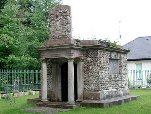 Hatley Manormausoleum · 435 yd
 St Georges ChurchChurch · 450 yd
 Fortification in TownparksFortification · 804 yd
 Moon RiverHeritage attraction · 880 yd
 Embanked enclosureFairy fort / earthen ringfort · 1455 yd
 CastlecarraCastle, unclassified · 1.5 mi
 Hughestown WoodForest · 2.3 mi
 Patrick Gill Memorial Plaque (IRA)Monument · 4.0 mi
 Robert Strawbridge MemorialMemorial · 4.0 mi
 Wildlife AreaNature reserve · 4.2 mi
 Leabaidh DermotCave · 4.6 mi
 Site of Dangan CastleCastle, unclassified · 4.8 mi