What is recorded here
Fairy fort in Toorboney is a circular earthen ringfort in pasture on a north-facing slope in County Cork. Its bank stands about 1.8 metres high, with a narrow north-east entrance flanked by large boulders and two other gaps in the surrounding earth. The uneven interior and possible underground passage suggest the site may have served people as a shelter, boundary marker or place of ritual before becoming a fairy fort in local memory.
In pasture, on N-facing slope. Circular area (29m N-S; 28.4m E-W) enclosed by earthen bank (int. H 1.8m); shallow external fosse visible W->NNW wheres light undulation may be evidence for second bank. Entrance (Wth 1.4m) to NE, faced on each side by large boulders at base of bank; approached by slight ramp. Gaps in bank to S (Wth 2.2m) and NW (Wth 2.5m). Interior surface uneven; possible Man-made underground passage (9116) W of centre.
The above description is derived from the published 'Archaeological Inventory of County Cork. Volume 3: Mid Cork' (Dublin: Stationery Office, 1997). In certain instances the entries have been revised and updated in the light of recent research.
Date of upload/revision: 14 January 2009
The monument record does not grant public access. Check the route and ask the landowner before entering private land.
- What survives
- Recorded monument
Places near here
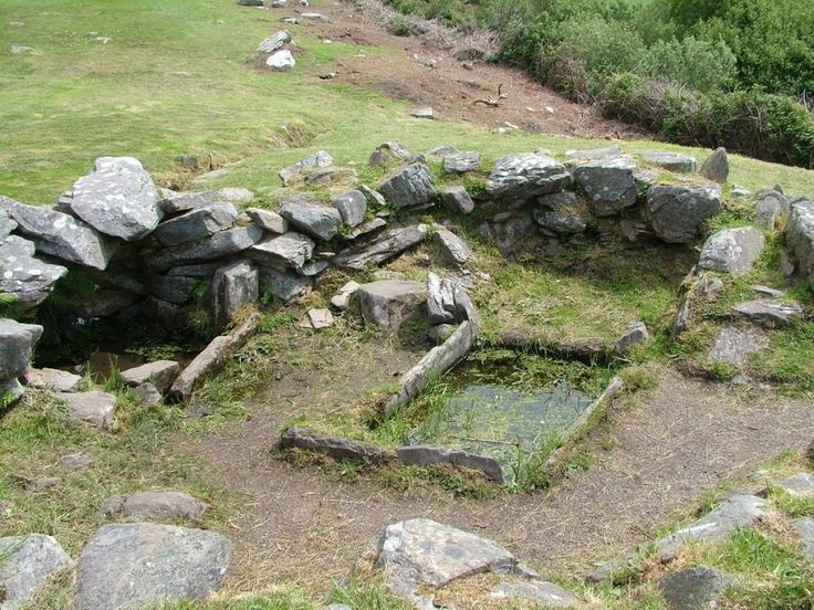 Fulacht FiadhFulacht fia · 539 yd
 IndicatedFairy fort / stone ringfort · 901 yd
 Caherbarnagh East TopMountain / peak · 1.2 mi
 Caherbarnagh NW TopMountain / peak · 1.3 mi
 Ballydaly Church (in Ruins)Church · 1.7 mi
 Church of Our Lady of Lourdeschurch/chapel · 1.8 mi
 Wildlife of the UplandsVisitor information · 3.6 mi
 Nohaval WoodWood · 3.8 mi
 Birds of DuhallowVisitor information · 3.8 mi
 Kilmeedy CastleCastle, tower house · 4.0 mi
 RowanRowan · 4.1 mi
 Millstreet Museum & Tourist Information CentreMuseum · 4.2 mi