What is recorded here
A shallow earthen ring on the Tooms West slope still marks the place where people lived beside the River Lee. Its bank rises barely sixty centimetres in some directions and a metre in others, yet it has resisted pasture, roadway and field boundaries. The fort is small enough to walk across in moments, but it has watched the valley for generations.
In pasture, on N-facing slope overlooking River Lee. Circular area (25.5m E-W; 24.3m N-S) defined by earthen bank (H 0.6m) to S; scarp (H 1m) elsewhere. Drain dug along base of scarp from W->NE. Interior raised on N side to compensate for hillslope; truncated on E side by roadway; crossed by field boundary on E-W axis.
The above description is derived from the published 'Archaeological Inventory of County Cork. Volume 3: Mid Cork' (Dublin: Stationery Office, 1997). In certain instances the entries have been revised and updated in the light of recent research.
Date of upload/revision: 14 January 2009
The monument record does not grant public access. Check the route and ask the landowner before entering private land.
- What survives
- Recorded monument
Places near here
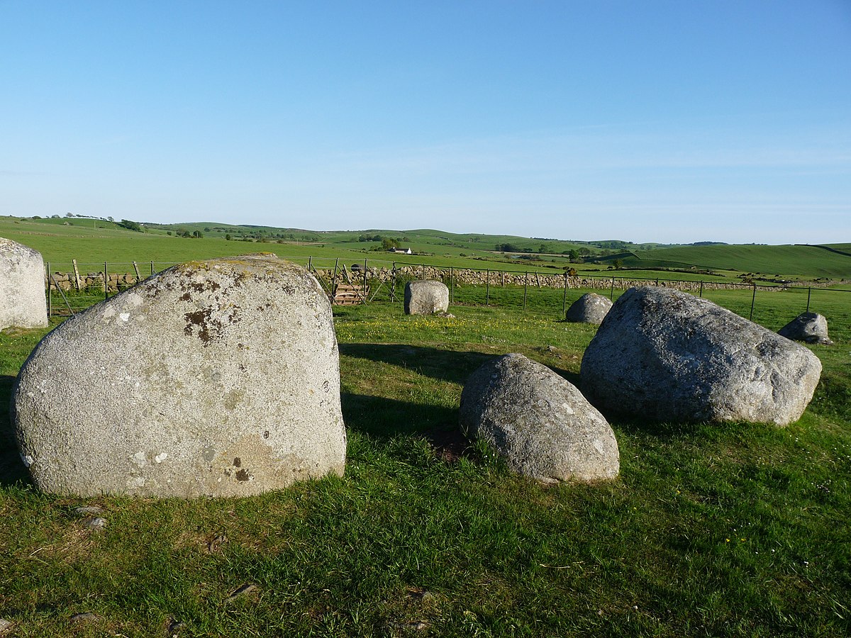 BarrowBarrow, ring-barrow · 1252 yd
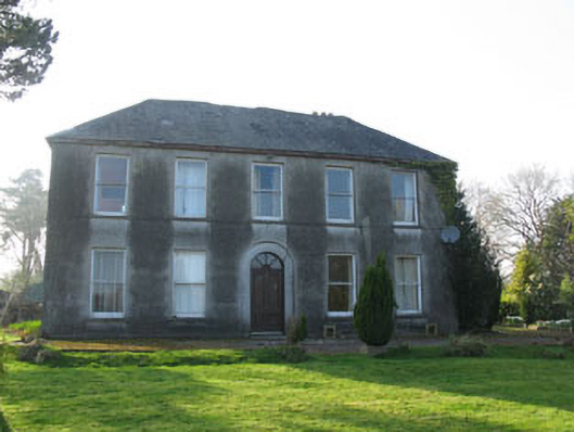 Lee Viewhouse · 1.1 mi
 Bealahaglashin BridgeBridge · 1.2 mi
 Castle (Site of)Castle, unclassified · 1.2 mi
 Grave YardGraveyard · 1.3 mi
 Sessile OakSessile Oak · 1.6 mi
 Mashanaglass Castle (in Ruins)Castle, tower house · 1.9 mi
 The Gearagh Nature ReserveNature reserve · 2.1 mi
 Battle of Macroombattle · 2.3 mi
 Macroom WalksVisitor information · 2.5 mi
 Priest MemorialMemorial · 3.1 mi
 Kilmurry WoodsPicnic place · 3.3 mi