What is recorded here
No human has broken the circle, though a later field wall cuts across it like a knife through a ribbon. The marsh gives back what it takes: shape, memory, even the names of those who lived inside. What remains is a round shadow in the grass, waiting for someone reckless enough to walk its edge and remember why the land keeps its own counsel.
In low-lying marshy grassland c. 22m to the N of a stream. This possible rath (diam. 25.5m), in fair condition, is defined by an earthen bank (Wth 1.3-2.3m; int. H 0.4m; ext. H 0.8m) which is overgrown with bushes. No visible surface trace survives from E to S. A field wall cuts across the monument from N to S. Possibly a rath that was re-used as a tree-ring enclosure.
Compiled by: Galway Archaeological Survey, UCG
Date of upload: 11 July 2019
The monument record does not grant public access. Check the route and ask the landowner before entering private land.
- What survives
- Recorded monument
Places near here
 IndicatedFairy fort / earthen ringfort · 616 yd
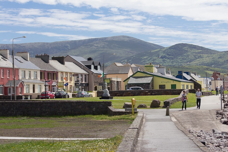 Quarry in CaherhenryhoeQuarry · 867 yd
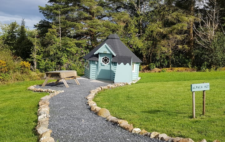 Hut site in Ballybaun (lackalea Ed)Hut site · 915 yd
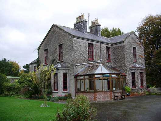 Tooluban Househouse · 1505 yd
 Bawn in Cahernamuck WestBawn · 1.2 mi
 Raruddy Castle (in ruins)Castle, tower house · 1.8 mi
 Turoe StoneHeritage attraction · 1.9 mi
 Barrack IslandIslet · 3.3 mi
 Blake's IslandIslet · 3.3 mi
 Long PointHeadland · 4.2 mi
 Moyard WoodWood · 4.6 mi
 Scalpeen RockNamed rock · 8.2 mi