What is recorded here
Mnemo records an open ring of exclusion, not a hidden chamber. The distinction removes the claim that photography or distance instrumentation must be forbidden. The exact function of the fort and the identity of its builders remain unknown. A visible exclusion ring may be measured, drawn and tested because it is not a private chamber or a hidden feeding tool.
In level pasture. In level pasture. A raised subcircular area (diam. 28.2 N-S; 27m E-W) enclosed by a low bank of earth and stone (Wth 2.6-3.7m; H 0.3-0.6m) and the outline of an infilled intervening fosse (Wth 1.5m-2m). A report in 1975 (SMR file) recorded fragmentary remains of an outer bank at S, which are no longer identifiable. The original entrance is not recognisable.
Compiled by: Patrick F. O'Donovan
Date of upload: 18 January 2012
The monument record does not grant public access. Check the route and ask the landowner before entering private land.
- What survives
- Recorded monument
Places near here
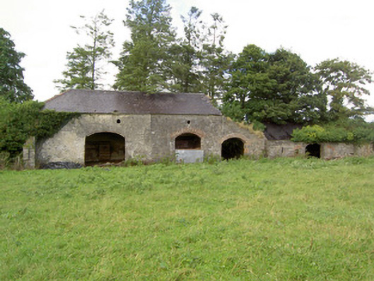 Mossvaleoutbuilding · 677 yd
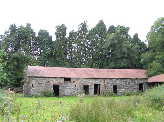 Moorhill Housefarmyard complex · 979 yd
 Enclosure in DrummanEnclosure · 1423 yd
 Site of Castle NugentCastle, unclassified · 1626 yd
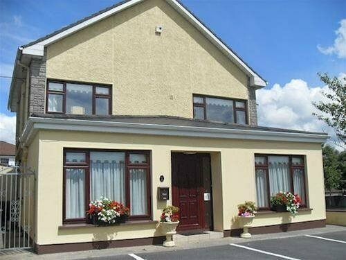 LisnagreeFairy fort / earthen ringfort · 1.3 mi
 Moat of GranardCastle, motte and bailey · 2.0 mi
 Granard MotteMotte-and-bailey castle remains · 2.0 mi
 1798 Monumentmonument · 2.1 mi
 Clonfin Ambush MemorialMemorial · 2.8 mi
 Cloonfin WoodForest · 3.7 mi
 CartronfreeMountain / peak · 5.1 mi
 Edgeworthstown BypassMemorial · 5.3 mi