What is recorded here
Situated on the summit of a hillock in undulating grassland, 35m W of the townland boundary with Annagh. Depicted as a roughly D-shaped or sub-triangular shaped area (approx. dims. 28m N-S x 21m E-W) enclosed by a bank with traces of an external fosse which is visible today on Digital Globe aerial photographs.
Compiled by: Caimin O'Brien
Date of upload: 27 January 2019
The monument record does not grant public access. Check the route and ask the landowner before entering private land.
- What survives
- Recorded monument
Places near here
 Enclosure in TonashammerEnclosure · 427 yd
 Enclosure in Annagh (fore By.)Enclosure · 1116 yd
 Hilltown Castle (in ruins)Castle, tower house · 1182 yd
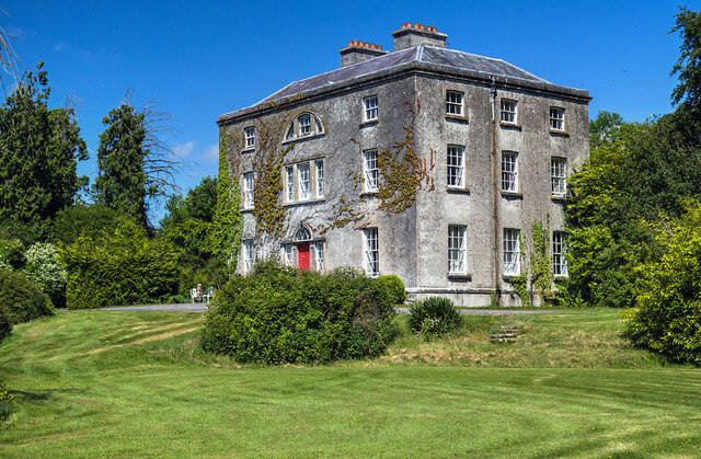 Hilltown Housecountry house · 1202 yd
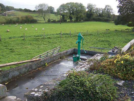 water pumpwater pump · 1408 yd
 CastleCastle, unclassified · 1.1 mi
 European BeechEuropean Beech · 1.5 mi
 Mullaghmeen ForestPicnic place · 2.2 mi
 Mullaghmeen Red WalkWalking route · 2.7 mi
 Seafin HillMountain / peak · 3.1 mi
 Mount FortuneMountain / peak · 3.7 mi
 Zip WireHeritage attraction · 3.7 mi