What is recorded here
Fairy fort in Tireran, County Monaghan: a 25-metre earthen ring on a drumlin slope, old enough to predate local memory and sturdy enough to suggest real life inside. Its gaps and faint outer ditch leave the entrance unknown, inviting imagination rather than certainty. People may have lived, herded or hidden there before the land took the shape back.
Located towards the top of the E-facing slope of a drumlin. This is a circular grass and scrub-covered area (diam. 24.8m NNE-SSW; 23m WNW-ESE) that slopes down gently to the SE. It is defined by an earthen bank S-W-N, which is reduced to a scarp elsewhere with traces of an external fosse. There are gaps in the bank at S, SSW, WNW and NW, but the original entrance is not identifiable.
The above description is derived from the published 'Archaeological Inventory of County Monaghan' (Dublin: Stationery Office, 1986). In certain instances the entries have been revised and updated in the light of recent research.
Date of revision: 25 July 2017
The monument record does not grant public access. Check the route and ask the landowner before entering private land.
- What survives
- Recorded monument
Places near here
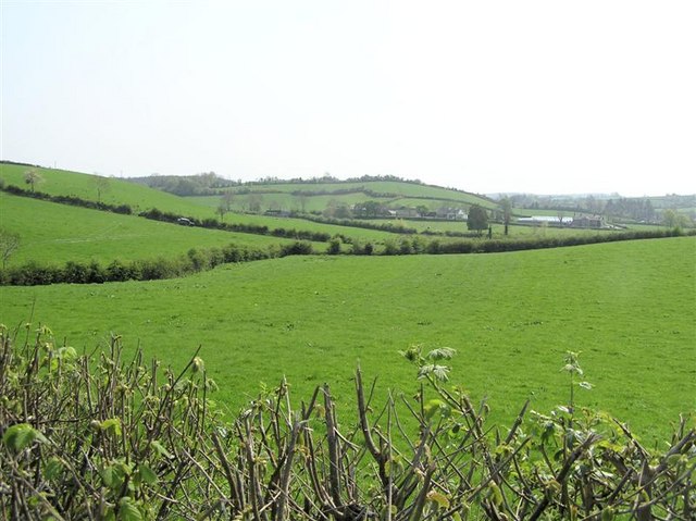 IndicatedFairy fort / earthen ringfort · 396 yd
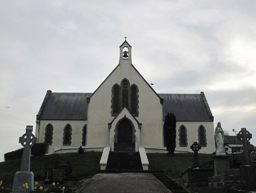 Saint Patrick's Catholic Churchchurch/chapel · 1588 yd
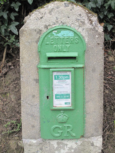 post boxpost box · 1652 yd
 Fairy fort / earthen ringfort in AghadrumcruFairy fort / earthen ringfort · 1.4 mi
 Coolberrin HillMountain / peak · 1.6 mi
 Derrygorry WoodForest · 1.7 mi
 St. Muadain's WellSpring · 1.8 mi
 Latten WoodForest · 1.9 mi
 Saint Patrick's ChairNamed rock · 2.2 mi
 RAVELLA CASTLE:HOUSE AND BAWN in RavellaRAVELLA CASTLE:HOUSE AND BAWN · 2.4 mi
 Sliabh Beagh WayWalking route · 3.6 mi
 MEDIEVAL CHURCH & GRAVEYARD: AGHALOO CHURCH in RouskyMEDIEVAL CHURCH & GRAVEYARD: AGHALOO CHURCH · 3.9 mi