What is recorded here
No visible entrance. The fort is a broken circle of earth and stone near the top of a Cork hill, wide enough for a small household and old enough that its edges have slipped into the pasture. A narrow hut shape presses against one side, and local thought may still be turning its interior into a hidden passage. People called it a fairy fort because the shape stopped being human for a moment, as if the land had taken back the room.
In pasture, near top of hill. Circular area (28m NE-SW; 26.2m E-W) enclosed by earth and stone bank (int. H 0.9m; ext. H 1.15m) NNE->WNW; shallow external fosse (D 0.3m). Bank spread wide due to slippage; gaps worn across bank to NE, SSE and SSW. Hut site (L 3.1m; Wth 1.65m) adjoins SE bank, enclosed by low curving earthen bank (int. H 0.3m; ext. H 0.2m); open to SW. Possible Man-made underground passage (CO016-255---) in interior.
The above description is derived from the published 'Archaeological Inventory of County Cork. Volume 4: North Cork' (Dublin: Stationery Office, 2000). In certain instances the entries have been revised and updated in the light of recent research.
Date of upload/revision: 14 January 2009
The monument record does not grant public access. Check the route and ask the landowner before entering private land.
- What survives
- Recorded monument
Places near here
 IndicatedKiln, lime · 914 yd
 Enclosure in Boherascrub EastEnclosure · 1016 yd
 Fulacht fia in Grange West (orrery and Kilmore By.)Fulacht fia · 1294 yd
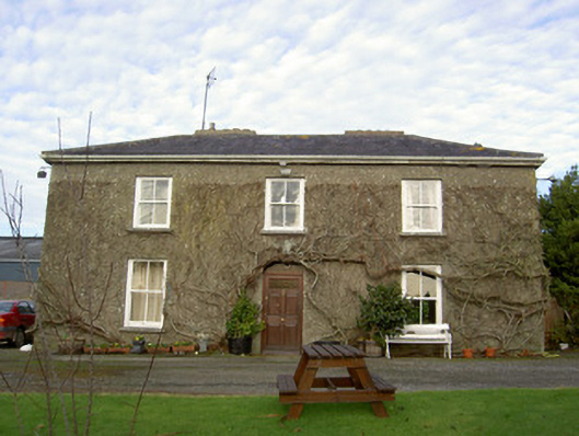 Glenville Househouse · 1334 yd
 Bawn of Kilmaclenine (in Ruins)House, fortified house · 1.3 mi
 Kilmaclenine CastleCastle · 1.4 mi
 Buttevant Rail DisasterMemorial · 1.6 mi
 Charles BunworthMemorial · 1.7 mi
 Lady's WellSpring · 1.8 mi
 SycamoreSycamore · 1.9 mi
 Battle of LiscarrollMajor battlefield · 4.8 mi
 European YewEuropean Yew · 6.4 mi