What is recorded here
Situated on a broad hilltop. Circular scrub-covered area (diam. 38.3m E-W) defined by an overgrown earthen bank (Wth 6-7.5m; int. H 0.5-0.7m; ext. H 1.2-1.6m) with an outer flat-bottomed fosse (Wth of top 10-10.3m; Wth at base 4.5m). An external bank (Wth 4m; int. and ext. H 1.4m) is incorporated into a field bank WNW-E-WSW which encloses a square annex (WA037-026002-) (dims. c. 20m N-S; c. 20m E-W) at W. An original outer bank of the rath is reduced to a low mound (Wth c. 5m; H 0.2-0.3m) within the annexe. The entrance (Wth 2.2m) to the rath is through the inner bank at NNE, and there is a modern entrance (Wth 4.2m) is at ESE.
The above description is derived from the published 'Archaeological Inventory of County Waterford' (Dublin: Stationery Office, 1999). In certain instances the entries have been revised and updated in the light of recent research.
Revised by: Michael Moore
Date of upload: 19 August 2010.
The monument record does not grant public access. Check the route and ask the landowner before entering private land.
- What survives
- Recorded monument
Places near here
 St Bridget's WellSpring · 966 yd
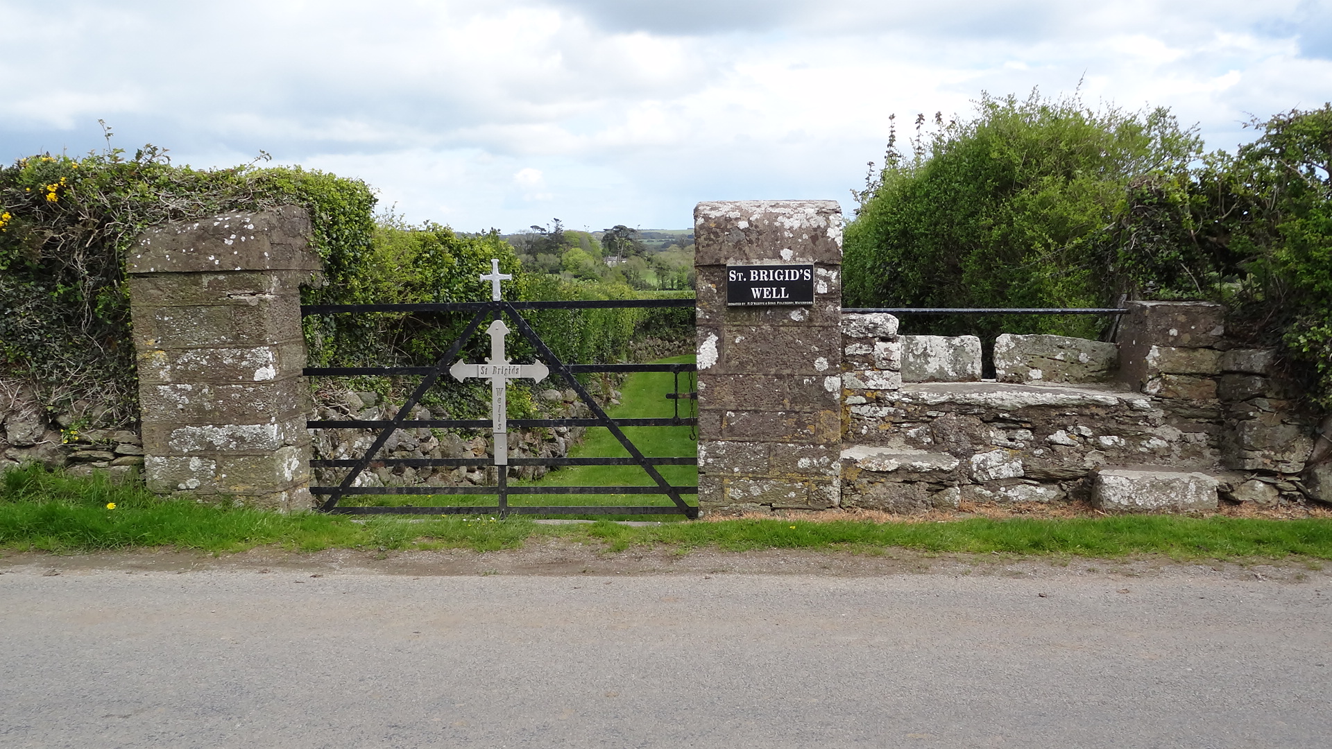 St. Bridgets WellHoly well · 980 yd
 Leacht in Kilmaloo East,kilmaloo OR Clashganny,kilmaloo WestLeacht · 1077 yd
 Monastic CastleReligious house, Knights Templars · 1173 yd
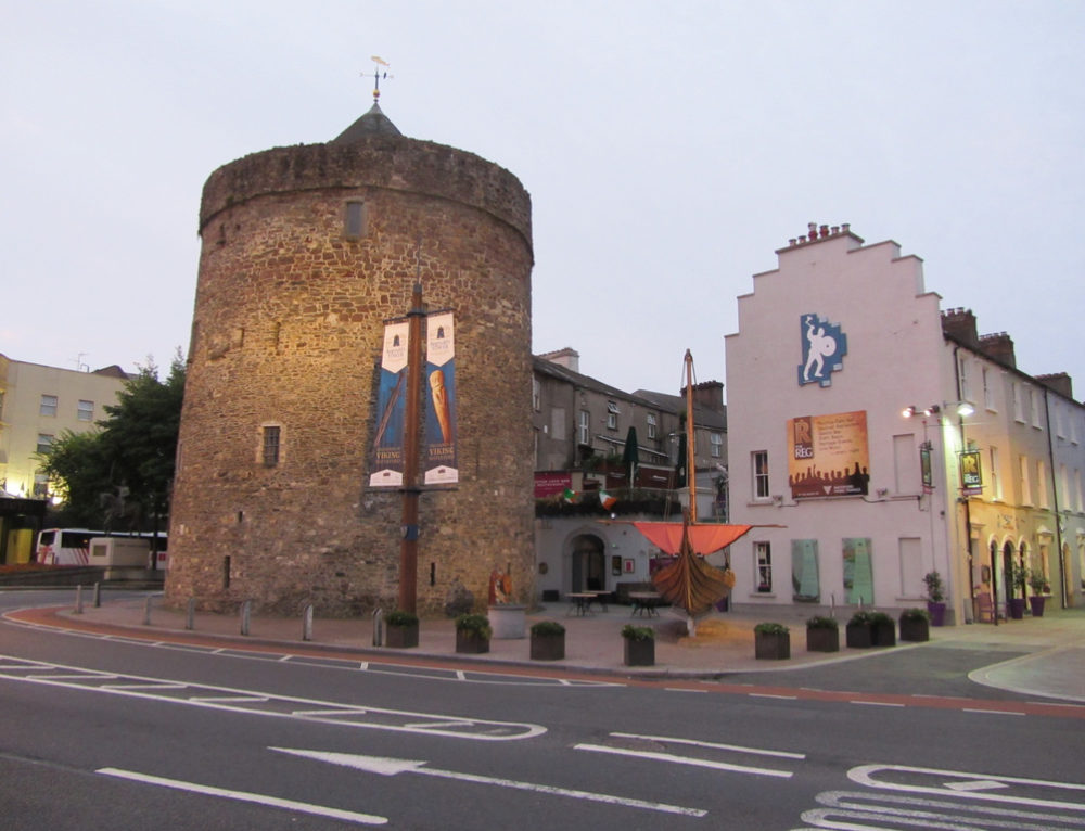 Kiln in ShanacooleKiln · 1372 yd
 Ringcrew WoodForest · 1635 yd
 D'Loughtane WoodForest · 1714 yd
 Youghal Foxhole Loop walkWalking route · 1.3 mi
 Castle (in ruins)Castle, tower house · 1.4 mi
 Templemichael Castle (in ruins)Castle, tower house · 1.6 mi
 Molana AbbeyHeritage attraction · 1.8 mi
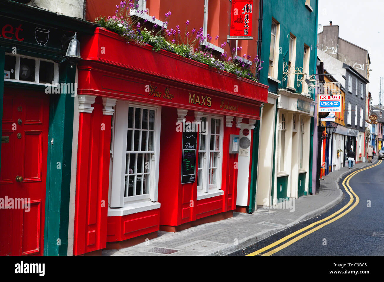 Store Street & New Catherine StreetVisitor information · 2.0 mi