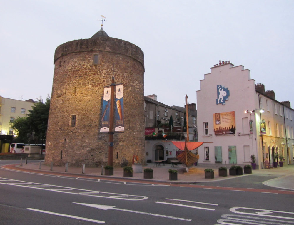
What is recorded here
Located on a gentle S-facing slope at the base of a steeper S-facing slope and c. 50m NE of the of the River Blackwater estuary. It was excavated (E3566) as Area 1 during 2006 on the N side of the existing road as part of the N25 road re-alignment scheme. An oval area (dims. 2.1m E-W; 0.54m N-S; D 0.22m) consisting of a black sandy clay with flecks of charcoal overlay U-shaped settings of stones that were heat-shattered on top, and probably represent two kilns. A C14 date of cal. AD 405-556 was produced from the fill. (Hegarty 2007c, 5-6)
Hegarty, L. (2007c) N25 Kilsalebeg Realignment. Final report on archaeological and paleoenvironmental investigations in the townlands of Shancoole and Pillotown, Co. Waterford. Headland Archaeology
Compiled by: Michael Moore
Date of upload: 07 October 2011
The monument record does not grant public access. Check the route and ask the landowner before entering private land.
- What survives
- Recorded monument
Places near here
 KinsalebegSettlement cluster · 1.0 mi
 Site of CastleCastle, unclassified · 1.0 mi
 Youghal Foxhole Loop walkWalking route · 1.1 mi
 Flour MillMill, unclassified · 1.1 mi
 Monastic CastleReligious house, Knights Templars · 1.1 mi
 Kilmaloo LoughWood · 1.1 mi
 St Bridget's WellSpring · 1.3 mi
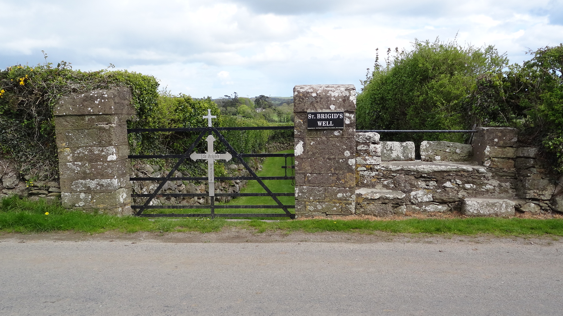 St. Bridgets WellHoly well · 1.3 mi
 Store Street & New Catherine StreetVisitor information · 1.5 mi
 Ringcrew WoodForest · 1.5 mi
 Ferry PointViewpoint · 1.5 mi
 Tynte's CastleCastle · 1.5 mi
Other information
Photo: Credit not shown in the picture search · Rights wording not checked; contact us if this picture should be removed