What is recorded here
Fairy fort in Tinageragh, County Cork: a ringfort rath, roughly circular, about thirty metres east-west and twenty-five north-south on a north-facing pasture slope. In 1842 it was still visible enough to draw; now only a shallow depression runs northeast to southeast, the rest erased or hidden. People may have lived there, marked it, forgotten it, or refused to believe it was anything but a hollow in the ground.
In pasture, on N-facing slope. Shown on 1842 OS 6-inch map as roughly circular enclosure (c. 30m E-W; c. 25m N-S). Levelled; shallow depression visible running NNE->SE; no other surface trace.
The above description is derived from the published 'Archaeological Inventory of County Cork. Volume 2: East and South Cork' (Dublin: Stationery Office, 1994). In certain instances the entries have been revised and updated in the light of recent research.
Date of upload/revision: 14 January 2009
The monument record does not grant public access. Check the route and ask the landowner before entering private land.
- What survives
- Recorded monument
Places near here
 St Stephens WellHoly well · 511 yd
 Church of the Immaculate Conceptionchurch/chapel · 657 yd
 Fulacht fia in MeenaneFulacht fia · 789 yd
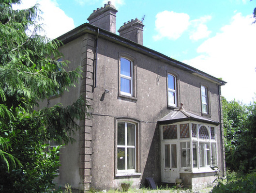 presbytery/parochial/curate's housepresbytery/parochial/curate's house · 929 yd
 Castle (Site of)Castle, unclassified · 2.4 mi
 Moanbaun ForestForest · 2.5 mi
 Devonshire's HillMountain / peak · 2.6 mi
 Castle (in Ruins)Castle, unclassified · 2.8 mi
 Graveyard in Killuntin NorthGraveyard · 2.8 mi
 Monananig WoodsWood · 3.0 mi
 Graveyard in GlenvilleGraveyard · 3.8 mi
 Rathcormac massacremassacre · 4.2 mi