What is recorded here
Thirty-one metres of forgotten wall still leans into the Tiermore valley, though cattle have bitten through its skin and brambles have swallowed the seam. People called it a fairy fort because the shape resisted human sense, yet the worn soil and scattered stones suggest somebody lived there long before the fairies arrived to inherit the silence. The ring endures as a boundary marker between memory and myth, waiting for someone to stop asking permission from the legend and start listening to the land.
In pasture, on SE-facing slope into river valley. Roughly circular (diam. 31m) area enclosed by earthen bank with external fosse (D 0.2m; Wth 1.5m). Enclosing bank (int. H 0.2m; ext. H 1.15m) has a very low internal height becoming scarp-like in places. Bank is heavily masked by overgrowth and has been denuded by cattle at SSE and NNW. Boulders from field clearance have been dumped along edge of interior at NNE. Interior slopes gently down to SE and is strewn with fallen tree limbs and loose stones.
Compiled by: Denis Power
Date of upload: 26 August 2011
The monument record does not grant public access. Check the route and ask the landowner before entering private land.
- What survives
- Recorded monument
Places near here
 Site of CastleCastle, unclassified · 398 yd
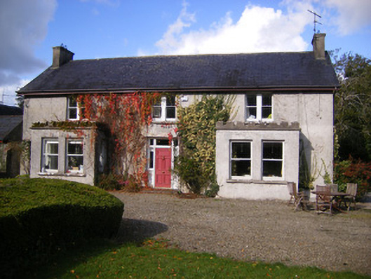 Kilcosgrave Househouse · 407 yd
 Kilmoylan Church (in ruins)Church · 742 yd
 CastleCastle, unclassified · 794 yd
 Rathfarra - HachuredFairy fort / earthen ringfort · 901 yd
 Burial ground in OldabbeyBurial ground · 1378 yd
 St. Luke's WellSpring · 3.7 mi
 Foynes Flying Boat & Maritime MuseumMuseum · 3.9 mi
 Foynes Island ViewpointViewpoint · 4.1 mi
 Gammarel PointHeadland · 4.2 mi
 St. Kieran's WellSpring · 4.2 mi
 Foynes IslandIsland · 4.6 mi