What is recorded here
No visible earthwork remains, only a faint shadow in the grass where the fort stood. It vanished before human memory, leaving behind a hollow shape the land still remembers. What was forgotten is not gone, only waiting to be remembered again.
In low-lying pasture, on very gentle S-facing slope. Monument, depicted on 1841 OS 6-inch map as embanked circular enclosure (diam. c. 20m), has been levelled. No trace of monument evident when inspected.
Compiled by: Denis Power
Date of upload: 26 August 2011
The monument record does not grant public access. Check the route and ask the landowner before entering private land.
- What survives
- Recorded monument
Places near here
 Site of CastleCastle, unclassified · 449 yd
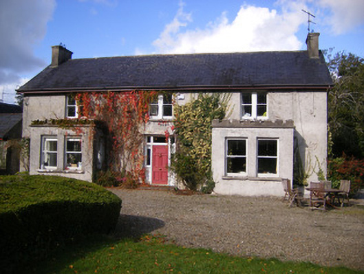 Kilcosgrave Househouse · 454 yd
 Kilmoylan Church (in ruins)Church · 667 yd
 Rathfarra - HachuredFairy fort / earthen ringfort · 820 yd
 CastleCastle, unclassified · 909 yd
 Burial ground in OldabbeyBurial ground · 1448 yd
 St. Luke's WellSpring · 3.7 mi
 Foynes Flying Boat & Maritime MuseumMuseum · 3.9 mi
 Foynes Island ViewpointViewpoint · 4.1 mi
 Gammarel PointHeadland · 4.2 mi
 St. Kieran's WellSpring · 4.3 mi
 Foynes IslandIsland · 4.6 mi