What is recorded here
Mnemo is a small circular fort in an open field, with two earth banks and a narrow ditch between them. It has stood since before human memory, watching the land turn from forest to farm and farm to sky. The fairies built it for games and hiding, but people passed it without knowing its name.
In reclaimed pasture 40m N of a field boundary that marks the townland boundary with Tobernea West. Depicted on the 1840 ed. OSi 6-inch map as a circular enclosure. It is shown on the 1897 ed. OSi 25-inch map as a circular-shaped area (diam c. 23m) enclosed by two banks with intervening fosse. Outline of overgrown monument is visible on Digital Globe orthoimage taken between 2011-13 and on Google Earth orthoimages where it is intersected at W by field boundary running N-S and at NW by a field boundary running NW-SE.
See attached Google Earth orthoimages.
Compiled by: Martin Fitzpatrick
Date of upload: 17 August 2021
The monument record does not grant public access. Check the route and ask the landowner before entering private land.
- What survives
- Recorded monument
Places near here
 Site of CastleCastle, unclassified · 1399 yd
 BarrowBarrow, unclassified · 1524 yd
 Tobernea Housepresbytery/parochial/curate's house · 1601 yd
 Mound in Thomastown (coshma By.)Mound · 1604 yd
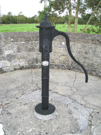 water pumpwater pump · 1.1 mi
 St Bridget's WellSpring · 1.2 mi
 Lady's WellSpring · 1.3 mi
 Site of Castle CooteBawn · 1.6 mi
 King John's CastleCastle · 1.9 mi
 Kilmallock AbbeyHeritage attraction · 2.0 mi
 Caher HillMountain / peak · 3.4 mi
 Holy Cross CemeteryGraveyard · 3.8 mi