What is recorded here
Situated on high ground with extensive views. A large circular area (diam. 47.5m E-W) enclosed by an earthen bank (Wth 1.5m; int. H 1m; ext. H 1.5-2.5m) which has been reduced to a scarp in places, with possible evidence of an external fosse (Wth 3.5m) at SE only. There is a modern gap (Wth 2.5m) in the bank at W. It was impossible to examine the E sector of the bank due to dense overgrowth. The interior of the site has been planted with evergreens and field fences radiate out from the site at W, S and SE.
The above description is derived from 'The Archaeological Inventory of County Tipperary. Vol. 1 - North Tipperary' compiled by Jean Farrelly and Caimin O'Brien (Dublin: Stationery Office, 2002). In certain instances the entries have been revised and updated in the light of recent research.
Date of upload/revision: 22 September 2008
The monument record does not grant public access. Check the route and ask the landowner before entering private land.
- What survives
- Recorded monument
Places near here
 Shannon Viewhouse · 506 yd
 Ashgrove Househouse · 787 yd
 The Cobblers BoxBawn · 861 yd
 IndicatedEcclesiastical site · 1009 yd
 St. Columbs WellHoly well · 1018 yd
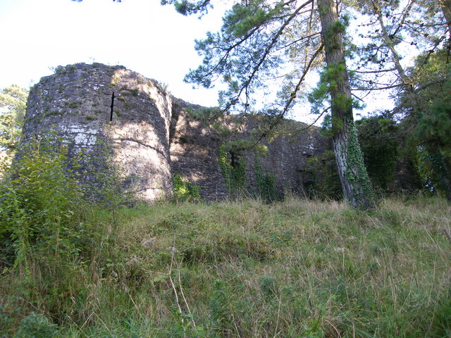 Old CourtCastle, Anglo-Norman masonry castle · 1219 yd
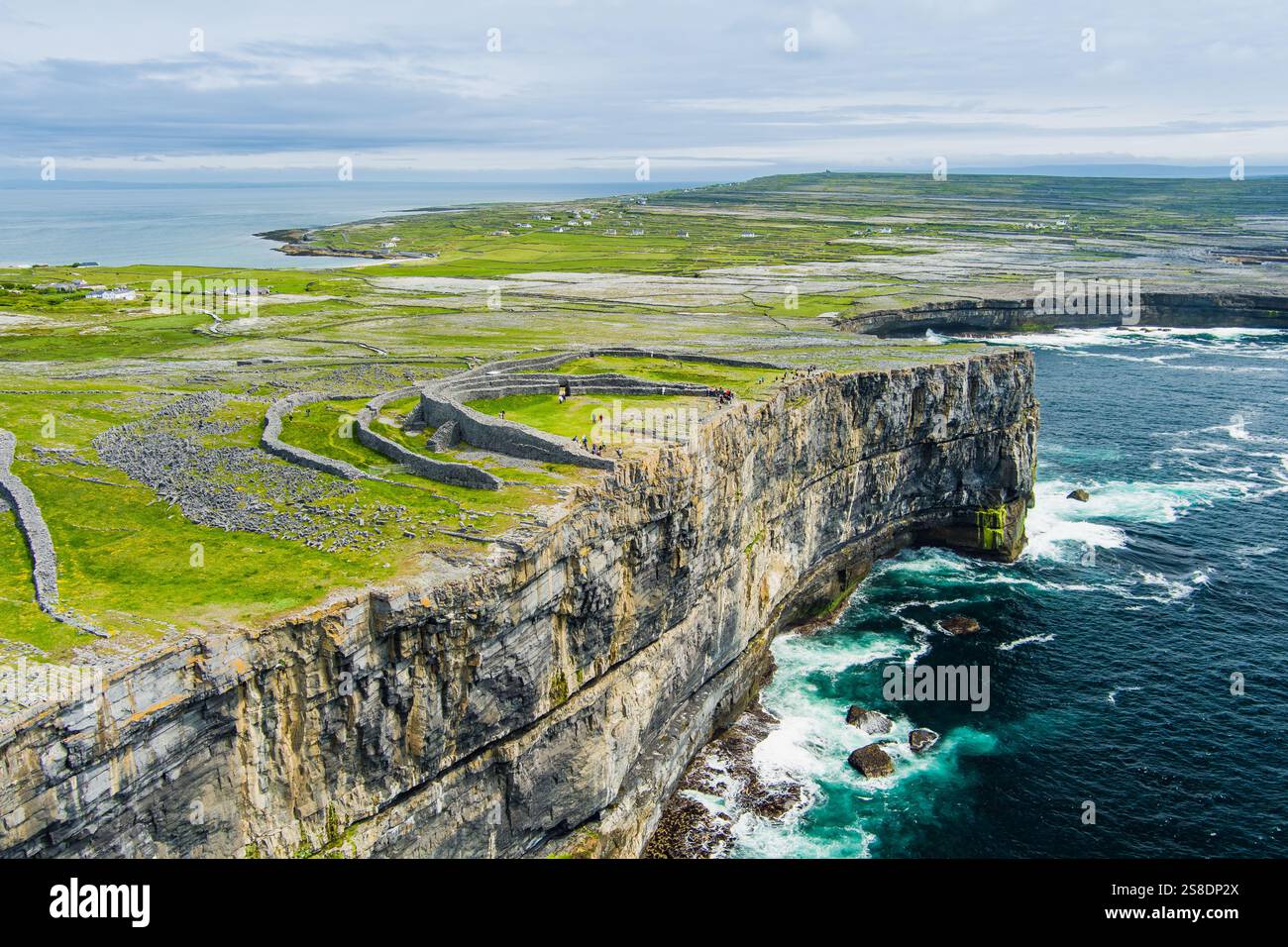 Silver IslandsIslet · 1.8 mi
 Man's IslandIslet · 1.8 mi
 Slevoir BayBay · 2.1 mi
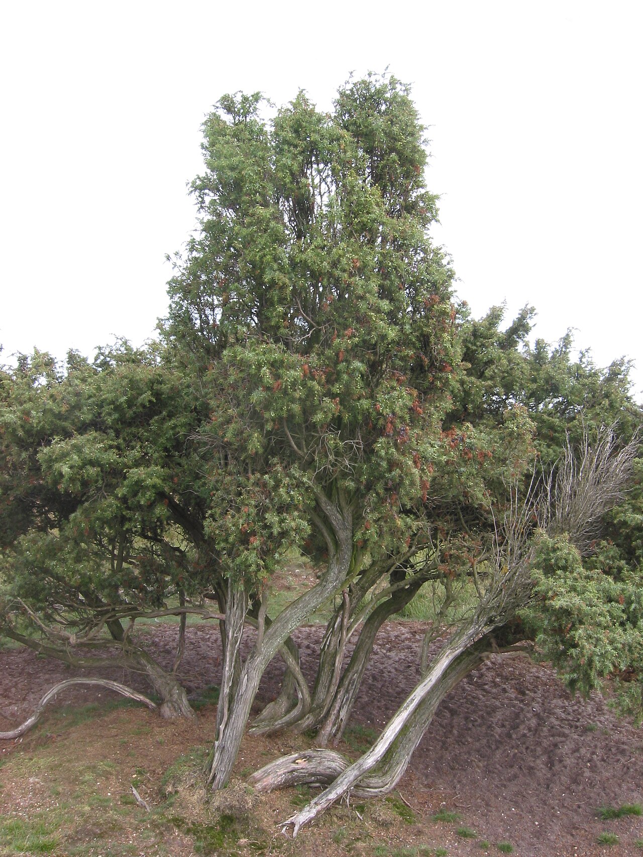 Common JuniperCommon Juniper · 2.4 mi
 Black mulberryBlack mulberry · 2.5 mi
 Portumna Castlegate lodge · 2.8 mi