What is recorded here
Thirty-four metres of ancient defiance still circle the eastern slope at Tennyphobble, marking a boundary humans crossed for centuries while believing the fairies owned the centre. Cattle graze the infilled ditch and trod the low bank flat, yet the shape resists forgetting. The fort does not demand worship; it waits for patience, revealing itself only to those who stop rushing and listen for the quiet heartbeat beneath the pasture.
On an E-facing slope in pasture. Depicted as a circular enclosure with the designation 'Fort' on the 1837 ed. of the OS 6-inch map. A raised circular area (diam. 34.5m) enclosed from SW-W-N by a low bank of earth and stone (Wth 4m; H 0.4-0.5m) and elsewhere defined by a low scarp (H 0.3-0.8m). A largely infilled external fosse (Wth c. 6m; D 0.3-0.6m) is visible from WSW-W-N. The rath is divided into unequal portions by a NW-SE field boundary. The original entrance is not recognisable.
Compiled by: Patrick F. O'Donovan
Date of upload: 18 January 2012
The monument record does not grant public access. Check the route and ask the landowner before entering private land.
- What survives
- Recorded monument
Places near here
 IndicatedEnclosure · 382 yd
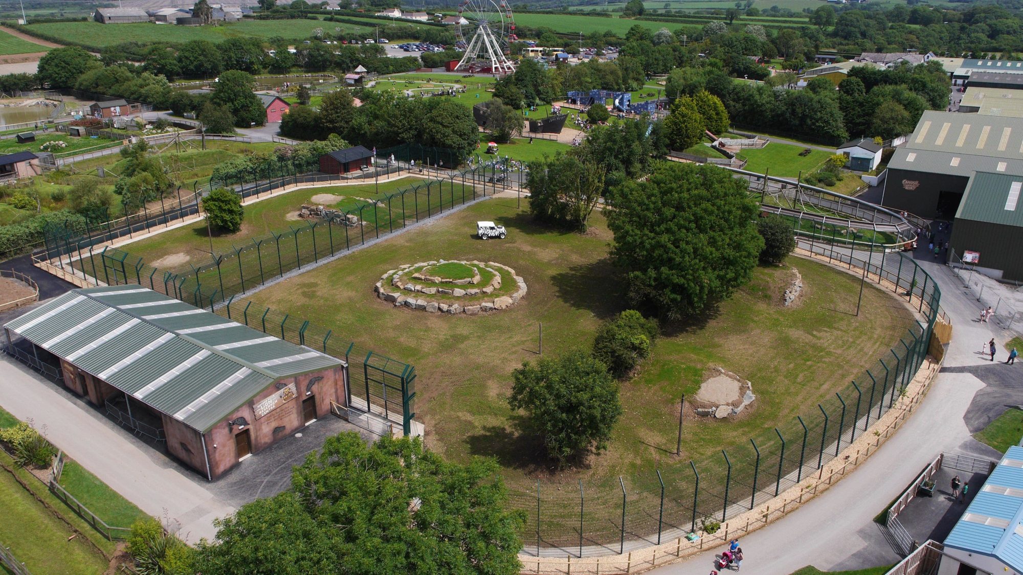 Enclosure in BallymauriceEnclosure · 387 yd
 gates/railings/wallsgates/railings/walls · 1249 yd
 Church in KilbrideChurch · 1403 yd
 Bakers FortCastle, ringwork · 1685 yd
 Moat of GranardCastle, motte and bailey · 1.1 mi
 1798 Monumentmonument · 1.1 mi
 Granard MotteMotte-and-bailey castle remains · 1.1 mi
 CartronfreeMountain / peak · 3.4 mi
 CarrickabaneMountain / peak · 4.0 mi
 Clonfin Ambush MemorialMemorial · 4.3 mi
 Watty's RocksIslet · 4.6 mi