What is recorded here
Templeusque held a thirty-metre earthen ring before ploughs erased it. The 1842 survey captured the circular boundary, but human hands later smoothed the ridge into ordinary pasture. Fairy forts invite this fate because people still treat ancient edges as obstacles rather than boundaries. The field keeps the shape only in memory now.
In pasture. Shown as circular enclosure (diam. c. 30m) on 1842 OS 6-inch map. Levelled; no visible surface trace.
The above description is derived from the published 'Archaeological Inventory of County Cork. Volume 2: East and South Cork' (Dublin: Stationery Office, 1994). In certain instances the entries have been revised and updated in the light of recent research.
Date of upload/revision: 14 January 2009
The monument record does not grant public access. Check the route and ask the landowner before entering private land.
- What survives
- Recorded monument
Places near here
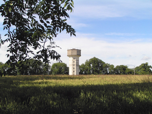 Saint Stephen's Hospitalwater tower · 834 yd
 IndicatedMill, spade mill · 1150 yd
 Sarsfields Court (in Ruins)Castle, unclassified · 1674 yd
 Pit-burial in KillydonoghoePit-burial · 1751 yd
 Fulacht fia in KillaloughFulacht fia · 1.1 mi
 Castle (Site of)Castle, unclassified · 2.0 mi
 Cork WalksVisitor information · 5.0 mi
 Lavitts QuayMemorial · 5.2 mi
 Mount Hillary - Knightfield LoopWalking route · 22 mi
 St Fursey's WellSpring · 23 mi
 European YewEuropean Yew · 23 mi
 Burial ground in AssolasBurial ground · 24 mi