What is recorded here
Fairy forts are not fairy forts. They are human ringforts, misnamed later. This is one of them: a broken circle of earth and stone on an east-facing slope in Templeusque, with a shallow ditch outside and a road that still bends around it. The name is the wrong part. The shape is the truth. People lived here, built here, left here, and forgot the names of everyone who worked the field.
In pasture, on E-facing slope. Circular area (42.5m N-S) defined by slightscarp NNW->SE; earthen, stone-faced bank (H 1.6m) survives in field fence system SE->SSW, with shallow external fosse (D 0.3m). Roadway curves as if to respect site SSW->NNW; no visible trace of bank survives.
The above description is derived from the published 'Archaeological Inventory of County Cork. Volume 2: East and South Cork' (Dublin: Stationery Office, 1994). In certain instances the entries have been revised and updated in the light of recent research.
Date of upload/revision: 14 January 2009
This remains an important historical record, but the official description says the monument is no longer visible or has been destroyed. The monument record does not grant public access. Check the route and ask the landowner before entering private land.
- What survives
- No visible remains or recorded as destroyed
Places near here
 Burnt mound in CrushyrireeBurnt mound · 1551 yd
 Water millWater mill, horizontal-wheeled · 1757 yd
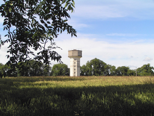 Saint Stephen's Hospitalwater tower · 1759 yd
 Enclosure in TemplemichaelEnclosure · 1.2 mi
 Sarsfields Court (in Ruins)Castle, unclassified · 1.5 mi
 Castle (Site of)Castle, unclassified · 1.8 mi
 Cork WalksVisitor information · 5.4 mi
 Lavitts QuayMemorial · 5.6 mi
 Mount Hillary - Knightfield LoopWalking route · 21 mi
 St Fursey's WellSpring · 23 mi
 European YewEuropean Yew · 23 mi
 Burial ground in AssolasBurial ground · 23 mi