What is recorded here
Fairy fort in Templemichael Glebe, County Longford: a hidden ringfort on the highest ridge point, mapping as a circular fort in 1837 but absent from modern ground view. It may have been a watchful boundary marker, a seasonal shrine, or a forgotten stronghold whose earth was scraped into the glebe. The name preserves more than survey now can prove.
On the highest point of a prominent ridge affording extensive views in all directions. Depicted as a circular enclosure with the designation 'Fort' on the 1837 ed. of the OS 6-inch map. The monument is not visible at ground level.
Compiled by: Patrick F. O'Donovan
Date of upload: 26 August 2011
The monument record does not grant public access. Check the route and ask the landowner before entering private land.
- What survives
- Recorded monument
Places near here
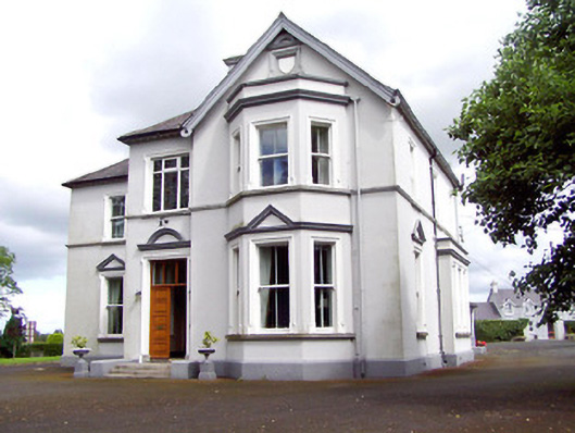 Saint Michael'sbishop's palace · 586 yd
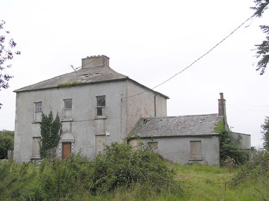 Ashfield Househouse · 659 yd
 Fulacht fia in LisnamuckFulacht fia · 771 yd
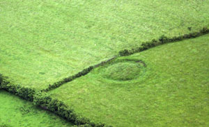 Fairy fort / earthen ringfort in ArdnacassaghFairy fort / earthen ringfort · 882 yd
 Saint Mel's CathedralCathedral · 1669 yd
 First World War MemorialMemorial · 1.1 mi
 Bawn in AbbeycartronBawn · 1.1 mi
 CastleCastle, Anglo-Norman masonry castle · 2.7 mi
 Graveyard in Curry (ardagh By., Coolamber Ed)Graveyard · 3.7 mi
 St. Barry's WellSpring · 5.7 mi
 Long IslandIslet · 6.1 mi
 Commons North WalkVisitor information · 9.9 mi