What is recorded here
On a SW-facing slope in pasture. Depicted as a circular enclosure with the designation 'Fort' on the 1837 ed. of the OS 6-inch map. A report in 1975 (SMR file) recorded that the monument had been almost completely levelled and all that was visible was the faint outline of a fosse with faint traces of a bank on either side of it. Apart from a well-defined, wide, shallow fosse (Wth 2.6-3m) from ENE-S-NNW, no visible surface trace survives.
Compiled by: Patrick F. O'Donovan
Date of upload: 26 August 2011
The monument record does not grant public access. Check the route and ask the landowner before entering private land.
- What survives
- Recorded monument
Places near here
 gates/railings/wallsgates/railings/walls · 211 yd
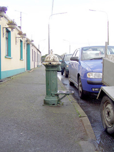 water pumpwater pump · 600 yd
 BarrowBarrow, ring-barrow · 602 yd
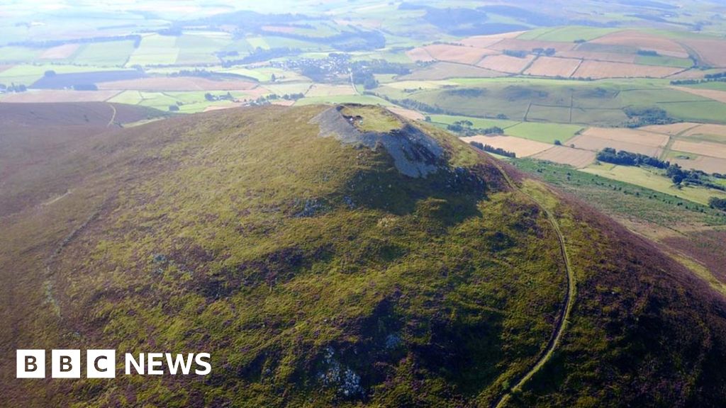 Hillfort in Granard,moatfield,teemoreHillfort · 863 yd
 Moat of GranardCastle, motte and bailey · 872 yd
 CastleCastle, unclassified · 901 yd
 Granard MotteMotte-and-bailey castle remains · 913 yd
 1798 Monumentmonument · 950 yd
 CartronfreeMountain / peak · 3.4 mi
 Clonfin Ambush MemorialMemorial · 3.8 mi
 Cloonfin WoodForest · 4.2 mi
 CarrickabaneMountain / peak · 4.3 mi