What is recorded here
Fairy fort in Teadies Lower: an oval earthen ring, 26 by 34 metres, with a shallow scarp and a hidden underground passage inside. It sits in level pasture beside the Bandon River, low enough to walk past yet shaped enough to know human hands made it. The name suggests people once believed the fairies lived there, but the passage suggests people also went down into it, perhaps to hide, store, worship or simply see what darkness would return.
In level pasture land, on N side of Bandon River. Oval raised area (c. 26m N-S; c. 34m E-W) defined by scarp (H 0.8m). Scarp low on N side. Man-made underground passage (CO109-00802-) in interior.
The above description is derived from the published 'Archaeological Inventory of County Cork. Volume 1: West Cork' (Dublin: Stationery Office, 1992). In certain instances the entries have been revised and updated in the light of recent research.
Date of upload/revision: 14 January 2009
The monument record does not grant public access. Check the route and ask the landowner before entering private land.
- What survives
- Recorded monument
Places near here
 CaveMan-made underground passage · 1 yd
 Palace Annecountry house · 993 yd
 Fulacht fia in Teadies UpperFulacht fia · 1134 yd
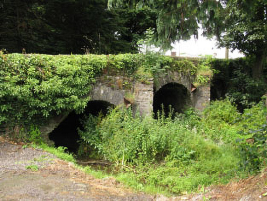 Enniskean Bridgebridge · 1184 yd
 The GlenWood · 1.9 mi
 Castle DerryCastle · 2.3 mi
 Tobar MacloonaboySpring · 2.7 mi
 Corran HillMountain / peak · 3.2 mi
 Castle RockNamed rock · 3.7 mi
 Irish National Forestry FoundationNature reserve · 3.8 mi
 Green HillMountain / peak · 4.1 mi
 Fahanacowley Castle (Site of)Castle, unclassified · 5.2 mi