What is recorded here
Mortals may have built the fort, but the fairies took it over and made it their own. They abhor being watched, so they guard the ring against intrusive eyes and human claims.
Situated in a low-lying position on the floor of Glencar valley. Overgrown subcircular area (int. diam. c. 30m) defined by an earthen bank (Wth 5m; int. H 0.4m; ext. H 1.3m) NW-NE which is reduced to a scarp (H 1m) elsewhere, with traces of a fosse crossed by a causeway (Wth 2.8m) at S. The original entrance is not identified, but the monument is bisected by an E-W field bank, now partly removed.
The above description is derived from 'The Archaeological Inventory of County Leitrim' compiled by Michael J. Moore (Dublin: Stationery Office, 2003). In certain instances the entries have been revised and updated in the light of recent research.
Date of upload: 23 September 2008
The monument record does not grant public access. Check the route and ask the landowner before entering private land.
- What survives
- Recorded monument
Places near here
 CashelFairy fort / stone ringfort · 1071 yd
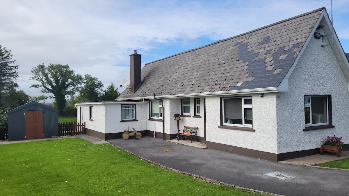 Sweathouse in GorteenaguinnellSweathouse · 1583 yd
 Teampul ShetricPenal Mass station · 1.1 mi
 Penal Mass station in GortnagarnPenal Mass station · 1.5 mi
 CastleCastle, unclassified · 2.0 mi
 Keelogyboy Mountain NE TopMountain / peak · 2.1 mi
 Castle CarCastle · 2.2 mi
 Keelogyboy MountainMountain / peak · 2.6 mi
 Glencar IslandIslet · 2.8 mi
 Glencar WaterfallVisitor information · 2.9 mi
 Longhill WoodForest · 3.2 mi
 Memorial Francis FinnMemorial · 3.3 mi