What is recorded here
Killala Bay glitters thirty metres below the ridge where a forgotten circular bank still holds its shape in Tawnaghmore Lower. The earthwork measures twenty-six metres across, yet farm tracks and leveling have cut through its sod-covered wall, leaving only a broken ring and a narrow internal curve. It resists easy belief because ordinary pasture now occupies the space where a rath once stood watch.
In pasture, located on a roughly E–W ridge. There is a fall of ground c. 30m to N of the rath, giving extensive views to N, and to NE over Killala Bay. Immediately to SE-S there is a broad expanse of rolling, improved pasture.
This possible rath is not indicated on the 1838 and 1929 OS 6-inch maps. It has been partly leveled. Slightly raised, roughly circular area (c. 24m N–S; 26.2m E–W) defined by a sod-covered bank (Wth 2.3m; int. H 0.2m; ext. H 0.45m, at SW) of earth and stones. The bank is very low and degraded, and distinguished mainly by its covering of rough vegetation and long grass. The interior has a slight slope down from NE to SW. There is a gap (Wth 3.4m) in the bank at SW. From the N terminal of the gap, a low bank (Wth 1.6m; H 0.2m) curves into the interior for 7.5m, ending abruptly. A gravelled farm track, approaching the rath from the W, partly truncating the bank at N, and then turns to S extending through the interior. There is a rath (MA022-034----) 200m to E.
Compiled by: Jane O’Shaughnessy
Date of upload: 7 May 2019
The monument record does not grant public access. Check the route and ask the landowner before entering private land.
- What survives
- Recorded monument
Places near here
 Enclosure in Tawnaghmore LowerEnclosure · 529 yd
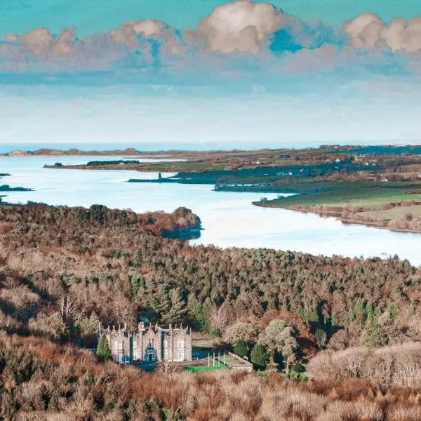 IndicatedFairy fort / earthen ringfort · 594 yd
 Bawn in Meelick (tirawley By.)Bawn · 855 yd
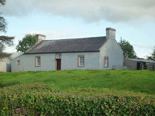 farm housefarm house · 1042 yd
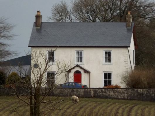 mansemanse · 1058 yd
 CastleCastle, unclassified · 1474 yd
 Battle of Killalabattle · 1548 yd
 Green IslandIslet · 1.2 mi
 Battlefields of MoyneBattlefield · 1.4 mi
 Rinnaun PointHeadland · 1.8 mi
 Moyne AbbeyHeritage attraction · 1.9 mi
 Bartragh IslandIsland · 2.4 mi